Sydney

dsc02831

As many of you know, I am in the process of moving to New Zealand.  Since I made the decision to move many people have asked me what I will miss when I leave Sydney.  This is a difficult question to answer fully.  I have so many good memories of Sydney and enjoy so many aspects of this city that the question can’t be narrowed down to a short answer and still manage to fully answer it.  This blog is an attempt to give a high level overview of my memories of Sydney and the things I most like about it.

One of my favorite activities in Sydney is walking across the Harbour Bridge.  Not only is it a beautiful bridge to see from a distance, but when walking across it you get awesome views of the harbour, the Opera House and the city.

dsc02846

Harbour Bridge from the Opera House

sydney

View from the North Shore Side

dsc02852

There is a museum and a lookout at the top of the pylon on the south end of bridge.  It is well worth the climb up the stairs, because the views of the harbour and the city are amazing.

In the above photo you can see on top of the bridge arch there are climbers on their way to the top of the bridge.  In 2012 I made this climb with several of my best friends.  We had a great day.  Definitely one of the highlights of my stay in Sydney.  It was not as difficult as it might appear and it was totally safe.  We were in harnesses and tied off for the entire walk.

Unfortunately, I can’t find the group photo we took at the top.  If any of you that climbed with me have a copy of the photo, could you please send it to me?

dsc02826

Sydney Opera House from the Harbour Bridge

dsc02463

Luna Park in Kirribilli

It may sound strange to some of you, but one of the things I will miss is the public transportation system in Sydney.  I found it to be so good that I didn’t need a car.  I only rode in a car maybe a dozen times the entire time I was in Sydney.  I only drove a car 3 times.  For two of the drives, between driving on the left side, the narrow city streets and the bumper to bumper traffic, the whole time I was white knuckled gripping the steering wheel and chanting the mantra, “keep left, keep left, keep left . . . “.  The third drive was on the highway, and was not so bad as it wasn’t that much different from driving on an American highway.

the-fortune-of-war

In the Rocks (Is she checking me out?)


2012-03-18-11-16-15

Hyde Park Chess Set

circular-quay-walk

CBD Near Circular Quay

By the way, for my American friends, that pronounced Circular Key.

dsc02643

Opera House during Vivid Sydney


One of my favorite activities in Sydney was taking walks.  There are many great bushwalks a short train ride away from the city.  And the entire coast is lined with trails that alternated from clifftop walks to strolls on the amazing beaches around Sydney.

cliff-top

Royal National Park

2014-03-09-14-32-44

Mark on a Trail Near Berowra

26-Final Climb

Great North Walk

2012-05-26-13-37-36

Hawkesbury River


blue-mountains-033

The Blue Mountains

The icons of the city were impressive and the views while hiking were amazing, but what really made the stay in Sydney special were the people I met and the good friends I made.

09-11-15

Bonnie and I in an Adventure Race

100_0987

At the Zoo (Miss You Jodi!)

saga_swlk_2013_11_09_c1703_0694

Calvin and I on Top of Sydney Tower

lunch

The Gang at the Gordon Club (2012)

20160805_131344

The Gang at Gilroy’s (2016)

There are so many great things about Sydney that I can’t even come close to listing them all.  Activities like the City to Surf run (ran it once and walked it once),  and Taking the ferry to Manly (still one of my favorite outings) or to Parramatta.  And so many others that it would take me the rest of the night to mention them all.  It really is one the Great cities of the world.


Posted in Uncategorized | 1 Comment

Hornsby to Berowra

Yesterday morning I set out at 11 a.m. from Hornsby on a 22 km walk to Berowra, following the Great North Walk trails.  It started with a walk of the Quarry Track which is a 4-WD track with easy walking.

1-Quarry Track Head

Quarry Road Track Head

2-Quarry Track

Quarry Road Track

The first crossing of Berowra Creek was at the “Steele Bridge”, with good views of the creek on both sides.

3-Steele Bridge

Steele Bridge

4-Berowra Creek 1

Berowra Creek

5-Berowra Creek 2

Berowra Creek

Soon after this crossing the trail turned into more traditional walking trail on the Benowie Walking Track.  It included a lot of good forest hiking along with steep climbs and rocky trails.

6-Clifftop

7-Galston Gorge

8-Stream Crossing at Galston

Crossing at Galston Gorge

9-At Galston Gorge

Galston Gorge

10-Rocky Trail 1

11-Waterfall

12-Rock Wall

13-Overhanging Rock

14-Stream Crossing

15-Berowra Creek

16-Berowra Creek

17-Creekside Trail

18-Crosslands Reserve

Crosslands Reserve

19-Berowra Creek

21-Marsh Crossing

Marsh Crossing

22-Marsh

23-Big Rock

24-School of Fish

School of Fish in Berowra Creek

25-Stream Crossing

Stream Crossing

26-Final Climb

Final Steep Climb to Berowra

For this walk the photos pretty much speak for themselves.  It was a relaxing walk with a variety of landscape and plant life.  It also included several steep climbs that gave my legs a good workout.  The steepest of these climbs were near the end, climbing up from along the Creek up to the town of Berowra, which was a 100m climb over a horizontal span of 400m.  After such a good workout I stopped at the Berowra RSL at 4:30 p.m. to reward myself with a schooner of Tooheys Old before catching the train back to Hornsby.

Hornsby to Berowra

Hornsby to Berowra

Posted in Uncategorized | 1 Comment

Manly Ferry & North Head

Yesterday’s exploration started with Bonnie’s idea to go whale watching, and I suggested North Head to combine it with a short bush walk.  As always, the idea gained more scope with time and it turned out to be a great day with a large variety of adventures along the way.  On my way to Circular Quay to meet Bonnie I got off the train one stop early  again (at Milson’s Point) to walk across the harbour bridge, and then took a shortcut through The Rocks and stopped to see my favorite mural on Globe Street.   The top third of the mural is actually a metre behind the bottom two-thirds, as a stairway separates them.

DSC02549.JPG

Jack Mundey – by Vhils

After a light breakfast we caught the Manly Ferry.  It was a little chilly but otherwise a nice 30 minute ferry ride out to what I think is the best beach in the Sydney area.

DSC02550.JPG

Opera House from the Ferry

DSC02555.jpg

Mrs Macquarie’s Chair

DSC02556

Woolloomooloo Bay

DSC02557

Sydney CBD

DSC02560

Looking Back

DSC02561.jpg

Looking Ahead

DSC02567.jpg

South Head


DSC02570.jpg

North Head


DSC02572.jpg

Manly Wharf

Manly Beach was the starting point of today’s walk.  On such a cool day it was pretty much empty of swimmers, except for a few dedicated surfers.

DSC02576

Manly Beach

DSC02578

Manly Beach

From Manly, we continued Southeast along the coast to Shelly Beach.  There is a wide walkway between the two beaches with cafes along the way.

DSC02579

A View of Shelly Beach from Manly

DSC02581

Walkway to Shelly

Approaching Shelly Beach the walkway was closed due to damage from last weekend’s strong storm.  It appeared that part of the walk had been eroded away from the rain and storm surge.  The damage could also be seen in the buildings in the area.  We stopped for a coffee at a cafe that had severe damage, but was still serving customers.

DSC02582

Damaged Walkway

DSC02583

Damaged Building Near Shelly

13436120_10153515413306372_1559903979_n

Simple Beauty Among the Wreckage

DSC02584

Only in Australia

DSC02585

Detour to Shelly Beach

DSC02586

View of Manly from Shelly

DSC02587

Shelly Beach

From Shelly Beach we continued on a trail into the bush toward North Head.  But we seemed to come to a dead end in the trail when we reached a wall with a gated hole in the wall with a warning sign.

DSC02590

Speared Dog Warning?

Unfortunately we didn’t read the small faded wording at the top of the sign, and turned around thinking we miss a turnoff somewhere.  After going back about 200m and still not finding a turnoff we met two others who had the same problem and joined them in another attempt to find the right trail to North Head.  This time, when we came to the wall we took the time to read the entire sign and realized we just needed to push open the gate and duck through the hole in the wall.


DSC02596

Pond in North Head Sanctuary

DSC02598

Old Artillery Emplacement

DSC02599

Parade Grounds at the Barracks Precinct

We arrived at the Barracks Precinct and saw the Parade Grounds, this was an old army base, and I’ve been told that it was recently used for the set of a season of the Biggest Loser TV Show.  The next stop on our walk would be the Q-Station (Quarantine Station), that was first set up in the 1800’s for a ship that was infected with Small Pox.  It has been used over the years for quarantine during various epidemics such as the Plague and the Spanish Flu.  It was not entirely closed and turned into a museum until the 1980’s.

DSC02600

At the Q-Station

DSC02601

Q-Station Greenhouse

DSC02602

Stairs to the Museum

We returned to the trails of North Head Sanctuary stopping at several lookouts with great views of the harbour and surrounding area.

DSC02603

Sydney Harbour

DSC02606

Balmoral Beach

DSC02608

Grass Tree

DSC02609

Grated Trail

At 4 o’clock we reach our intended destination of Fairfax Outlook and attempted to spot whales in their annual migration past Sydney Harbour to warmer waters.  After a while of watching you tend to start to convince yourself that that strangely shaped wave over there is the top of a whale, or that the bird you see flying low along the water is following a whale.  But we did not have any certain siting of a whale while we were there.  But the views were fantastic and well worth the walk out.

DSC02612

South Head and Sydney Harbour

DSC02614

Sydney

DSC02615

South Head Cliffs

DSC02618

Bonnie at North Head

While we were at one of the lookouts we could hear a helicopter coming but couldn’t see it until it cleared the cliff to our right.  It was a police helicopter that appeared to be searching the edges of the cliffs.

DSC02624

Police Copter

DSC02625

Searching the Cliffs

It was a 45 minute walk back to Manly and we arrived just before sunset.

DSC02630

Fishing from the Rocks

DSC02634

Hanging Out on the Cliffs

DSC02629

Sunset over Manly

DSC02639

Manly Corso

The queue for the ferry back to Circular Quay was huge, and you had to get in line about 30 minutes prior to the ferry boarding time.  We were packed like sardines in the wharf area waiting for the boat.  When arriving back at Sydney the lights of Vivid Sydney were in full bloom.

DSC02641

Vivid Sydney

DSC02644

Opera House with Vivid Sydney Lighting

Posted in Uncategorized | 3 Comments

Chatswood to Thornleigh

On Saturday I left Chatswood at 8 a.m.  First winding my way through the back streets of Chatswood and then reaching the entrance of the Blue Gum Walking Track, adjacent to a small playing field where a game of soccer was being played by children with a group of parents cheering them on.

DSC02513

Leaving Chatswood

This section of track was only a kilometer long, but was a pleasant walk along the Blue Gum Creek to the Lane Cove River.  The creek was little more than a trickle of water because of little rain in the area recently, but as I began on this walk a mist was beginning to fall on me with the expectation of more rain to come this morning.  So I was prepared for a wet walk.

DSC02514

Blue Gum Creek

As I approached the Lane cove river I passed under what appeared to be an abandoned rail bridge and soon after passed by a deteriorated picnic shelter.  I can only guess this area was abandoned when the main Lane Cove Park recreational facility was developed on the other side of the river.

DSC02515

DSC02516

After crossing the road and river into Lane Cove Park I entered a well developed recreational area.  This is an area I am very familiar with because the Infrastructure Department of my company had yearly picnics out here when our office was still in Chatswood.

DSC02517

DSC02518

Lane Cove River

DSC02519

Lane Cover Wier

In the park I saw some of the local wildlife.  A bird that most in the Sydney area will recognize, the Bush Turkey.  It is a little shaky to call them wildlife, since in many Sydney residential neighborhoods they are as common a squirrels are in most city neighborhoods in my home state of Michigan in the US.

DSC02520

Bush Turkey

At the Northwestern end of the recreational area I entered the start of the Lane Cove Walking Track.

DSC02521

Track Starting Point

As I was walking this track I was watching the time closely so that I could meet up with my friend Mark near Macquarie Park.  Mark is a talented amateur photographer and was bringing his equipment with him to capture some of the scenery along the track. I was expecting to meet him around 10 a.m. at the A3 highway crossing.

DSC02524

DSC02525

DSC02527DSC02528

Along the trail there were several overhanging rocks that you needed to walk under as part of the path.  One of the rocks has stick jammed under it and into the path.  I did not touch the stick . . . Just . .  . In. . . Case.

DSC02531

Stick Holding Rock?

DSC02532

DSC02533

I was making good time and realized that I would reach the highway meeting point early and was prepared to wait a bit for Mark. But at about 9:20 I received a text from Mark saying that he would be at the meeting point soon.  Looking at the map I figured I had about a 10 minute walk to the highway, so I tapped out a quick, “Me too.” to him.  But as I walked the trail it turned out to take longer than I thought it would and I didn’t reach the highway until 9:40.  Mark told me later that he made the same error in judging walking time along the highway and got there only minutes before me.  So it worked out very well.

At the highway I ran into the problem that the traffic was fairly heavy, and Mark was on the other side of it.  Having no way to safely cross, I had to backtrack the trail and take a side trail under a highway bridge.  With a quick text to Mark to tell him what my plan was (to avoid trying to yell across the highway to him)  I backtracked and met him down by the river on the other side.

DSC02543

Mark

The last half of the walk continued with good conversations with Mark and occasional stops for photos and a rest break.  For most of the walk there was a light mist falling, but with the effort of the walk and occasional climbs, the mist and the cool temperature was just right to keep us comfortable.  Although there was about a half hour when the rain picked up enough to make it uncomfortably cool and we ended up putting our jackets on for a short time.

DSC02545

Stream Crossing

At one point Mark noticed that a creek beside the trail had turned a strange orange color.  It was not an easily accessible part of the creek, so from a distance we debated what might have caused it and our best guess was verified later on in the trail where we found a small accessible pool of similar color.  It was clearly some type of algae.

DSC02541

Algae Filled Stream

There was a steep 100m climb at the end of the hike to take us into Thornleigh.  This was a good final test for my legs at the end of an 18km that are still very out of hiking shape. My legs are still sore today and I expect they will still be sore tomorrow.

DSC02547

Looking Back Down the Climb into Thornleigh

DSC02548

Just Before Arriving at Thornleigh Oval

The track ended at the back end of Thornleigh Oval and with a kilometer walk through the back streets we arrived at the train station.  Mark and I were taking trains in opposite directions so we said our goodbyes after an enjoyable day of walking in the woods.

Chatswood to Thornleigh Map

Posted in Uncategorized | 2 Comments

Kirribilli to Parramatta

Milsons Point

Milsons Point in Kirribilli

Yesterday’s outing was an exploration that primarily consisted of a Ferry ride up the Parramatta River with a few minor side adventures mixed in.  I started at Milsons Point with a walk from the train station down to the harbour at the base of the bridge.

Sydney

Nearby was the local icon of  Luna Park.  Well known to Sydneysiders, but I don’t think it’s a place the typical tourist is aware of until after they arrive.

Luna Park

After a brief stroll along the harbour I walked back up to the access to the bridge walkway to cross the bridge.  This is one of my favorite walks in the Sydney area because it gives such an amazing view of the harbour.

Harbour

Sydney Harbour

Bridge Walk

Bridge Walk

My initial destination was Circular Quay, which is the main ferry hub of Sydney and the start of the trip up the Parramatta river.

Circular Quay

Circular Quay

Circular Quay Walk

Walkway Behind Circular Quay Station

In Circular Quay I was joined by Bonnie for a cup of coffee and with a little time to spare before the Ferry was due to depart, she suggested we stop in at the Customs House, which I had never visited before.  Inside of the building there is a glass floor with a scale model of the city of Sydney under it.  Very cool.   I’ve walked by this building countless times, and didn’t know this was in here.  Definitely worth the stop to see.

Customs House

Customs House Model of Sydney

Behind the Customs House is a colourful mural, with a great message.

Mural

Mural Behind the Customs House

We caught the Ferry soon after 11 a.m.

Ferry Terminal

Ferry Terminal

I have been in Sydney for 4 and a half years and had never taken the Ferry out to Parramatta. Thanks to the suggestion by Bonnie we were finally able set aside a day to take this journey all the way up the river.  It turned out to be an enjoyable trip, which was more like a riverboat ride in comparison to the almost ocean-going ferry ride out to Manly (which I also enjoy immensely). The Ferry is definitely my favorite way of getting around Sydney when it’s going where I want to go and when I’m not in an especial hurry to get there.

Bridge1

Bonnie

Bonnie

Bonnie teased me a bit about taking pictures of every bridge we passed, but the engineer in me couldn’t resist.

Bridge2

Bridge3

Small Wharf

Paramatta Approach

Approaching Parramatta

To be honest, we didn’t have any particular plans for our visit in Parramatta, although we did have a nice lunch on Church Street, which is also advertised as Eat Street due to the large number of restaurants along a 3 block section of this street.  We also took a walk up to the park and then back along the river.

Paramatta Square

Parramatta

We also stopped to listen to an excellent guitarist who was playing Beatles tunes on an acoustical guitar.  And took the obligatory selfie while we were there.

Selfie

Parramatta Selfie

We had considered walking back as far as Olympic Park along the river, but it would have been a close call to make it there before dark, so we ended up getting back on the ferry for the ride back to Circular Quay.

Leaving Paramatta

Leaving Parramatta


Posted in Uncategorized | 2 Comments

Hornsby to Thornleigh

I took a short (10 km) solo hike today along the Benowie Walking Track, which is part of the Great North Walk.  I had hoped to take a longer walk this weekend, but it has been a busy couple of days and couldn’t get out on the trail until almost noon.  So I chose a short walk close to home since it gets dark around 5pm this time of year.

Hornsby Mall

Hornsby Mall – The Start of the Hike

Some people wonder why I would walk alone.  I was recently asked by a good friend, “Isn’t it funner to walk with others.”  My reply was that if I am walking for fun, then it is better to walk with others.  But if I am walking for peace of mind, then it is better to walk alone.  But when I tried to explain what I meant by “peace of mind” I had difficulty.  Here’s another attempt.

For me walking alone in the woods can almost put me in a meditative state.  There are no demands on my attention other than finding the next spot to place my foot.   So I can enjoy the scenery and the fresh air, and just allow my mind to wander without expectation of interruption.

That having been said, I must say that I do also enjoy hiking with others.  It is just a different type of experience.  Often when walking with someone else they will point out scenery or wildlife that I would have missed on a solo hike.  It becomes a fun walk with good conversation and a shared bonding experience between good friends.

Trail Sign

Sign Near the Start of the Trail

The significant landmark on today’s trail was a series of ponds called Fishponds.  The ponds were nice, but I found the rock formations above the ponds to be the most interesting part of them.  All of the rocks in this region are very worn and give an impression of being ancient formations and almost otherworldly. I was disappointed not to see any fish.

Fishponds

Fishponds

Stream Crossing 2

Stream Crossing

Stream Crossing 1

Another Stream Crossing

Although the expectation is that you would see Australian wildlife in the bush.  I’ve found on most of my hikes in the Sydney area you just don’t see the iconic Australian animals, like the kangaroo or koala.  But you do see and especially hear lots of birds.  Today I could continually hear the birds singing, but only got a good close look at one of them.

Cuckoo Dove

Brown Kuckoo-Dove

Banksia

Banksia Flowers

It was a short but enjoyable walk.  Soon after 2:30pm I found myself at Thornleigh Station, looking forward to the next hike.  I’m hoping to make the next hike for an entire day.  I had considered walking Thornleigh to CBD to cover the first 31km of the Great North Walk, but judging by the way my legs feel right now, I am clearly not in good enough shape to walk that far yet.  But I’ll find a good trail to walk and if you would like to join me for a 20km hike next weekend please let me know.

Thornleigh Station

Thornleigh Station

Google Image

Hornsby to Thornleigh

Posted in Uncategorized | Leave a comment

A Catch-Up

It’s been a year since I returned from New Zealand so I figured I would have a quick catch-up with everyone following my blog.  First of all I would like to direct you to  my About page that I’ve updated with a more complete Bio and hiking history.  To be honest, other than a few short day-hikes I’ve done very little hiking in the past year.  A failing that I will remedy over the coming months.

I’ve recently moved to Hornsby, so now I’m located at the southern end of the all of the great trails in the Hornsby-Berowra-Brooklyn region.  I will definitely be getting out and hiking more now that the trails are in my back yard.  Also, later this year I hope to get down to the Snowy Mountains for a few days of hiking there.

New Zealand has been calling to me since I returned to Australia.  I left the task of walking the Te Araroa incomplete.  I’ve decided to return at the end of the year and walk additional sections of the trail.

So far I’ve put together a rough idea of what sections I would like to complete on this trip.  First and foremost I want to return to the Dome Track where my shins gave out in December 2014, and walk from there down to Auckland, to complete the first significant section of the TA.  From there I plan to skip ahead to the Tongariro crossing and continue hiking from there to walk  the remaining uncompleted sections down to Wellington.    After Wellington the plan is to jump ahead to Morrison Footbridge near Arthur’s Pass, where I left the trail in February 2015.  And then see how much more of the South Island I can hike depending on how much time I can set aside for the trip.  Ideally I would hike from there to Arrowtown.

I know that after I returned last year I mentioned that I didn’t plan any more thru-hikes, but now the idea appeals to me again.  I’m really starting to get excited about the possibility of returning to the Te Araroa trail to walk another large section of it.

The image below shows the Te Araroa Trail.  The dark blue sections are the ones I hiked in 2014-15.  The Orange trail is the Able Tasman track, which I hiked as a side trip in 2015.  The light blue are the sections I hope to hike at the end of this year and early next year.  The red sections show the remaining trail sections that I hope to hike at a later time (maybe 2019).

Te Araroa Sections

Te Araroa Sections

Posted in Uncategorized | 2 Comments

New Zealand Hike Reflections

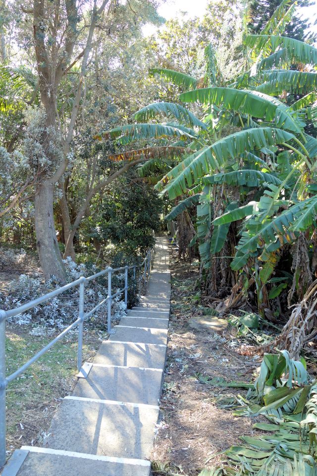
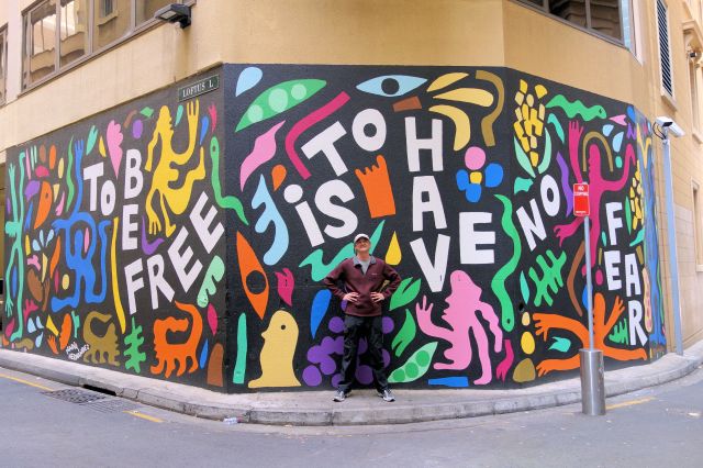
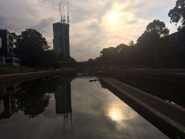
Now that I’ve returned to Sydney and started to look back on the hike, I am glad that I kept this blog.  When I review my posts they remind me of wonderful experiences that would otherwise have been forgotten.  It really was an amazing adventure even though it didn’t go exactly as planned.  But when I mentioned this to a friend of mine, he asked whether anything ever goes exactly as planned.  Of course I’m speaking of the problems I had in November with my shins that sidelined me for 6 weeks and prevented the possibility of a full through hike of New Zealand.  Of course I am a little disappointed that I couldn’t complete this initial goal.  But it doesn’t diminish the amazing experience I had on the trail.  And it also allowed me to take a more relaxed approach to the trip and visit places in New Zealand that I would otherwise have bypassed.

A Few Statistics and Lists

Total Distance Walked (including unofficial road walks and side trips):   1169 km (726 mi)

Total Te Araroa Trail Distance Walked (according to v33 maps):                1074 km (667 mi)

Number of Actual Hiking Days:                                                                            57

Average Distance Hiked per Day:                                                                       20.5 km (12.7 mi)

Maximum Distance Hiked in a Day:                                                                  38 km (23.6 mi)

Places Visited (for more than 24 hours):                                                            19

Auckland, Ahipara, Kerikeri, Whananaki, Whangarei, Pakiri Beach, Warkworth, Wellington, Havelock, Nelson, Hanmer Springs, Greymouth, Christchurch, Queenstown, Levin,  Paraparaumu, Porirua, Palmerston North, Hamilton

Number of Photos Taken:                                                                                    986

A majority of the photos can be seen on my Panoramio Account.  I will complete locating them on the map over the next few months, after which they will also be located on Google Maps/Earth.  The final hundred or so photos were uploaded today.

Te Araroa Sections Hiked: 

Indicated sections are shown in North to South order, not in the chronological order they were walked.  Each was purely hiked (every step of the way) although that point is moot for the shorter sections

Cape Reinga Lighthouse to Start of Dome Track (near Warkworth)                    489km

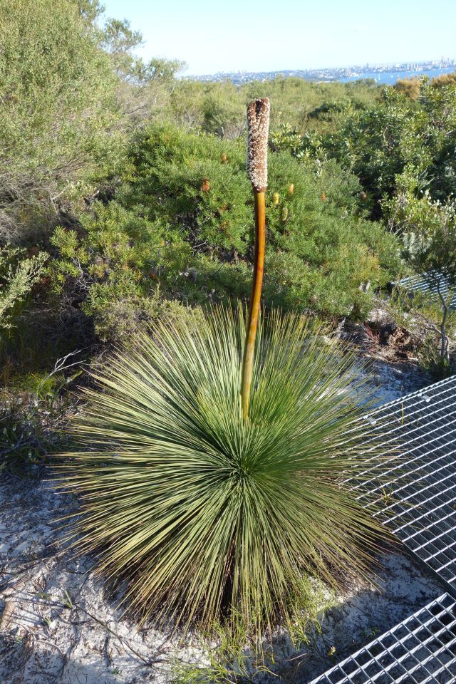
Browns Bay to Auckland CBD (walked Northbound)                                                 20km

The Tararuas:  Poads Rd Carpark to Otaki Forks                                                        44km

Paraparaumu Beach to Porirua                                                                                        37km

Wellington’s City to Sea Walk                                                                                           11km

Ship Cove (Queen Charlotte) to Morrison Footbridge (Harper Pass Track)         445km

Arrowtown to Queenstown                                                                                               28km

Side Trip Hike of Abel Tasman Track (not part of Te Araroa)                                  47km

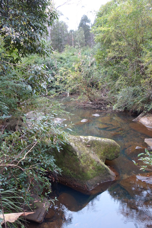
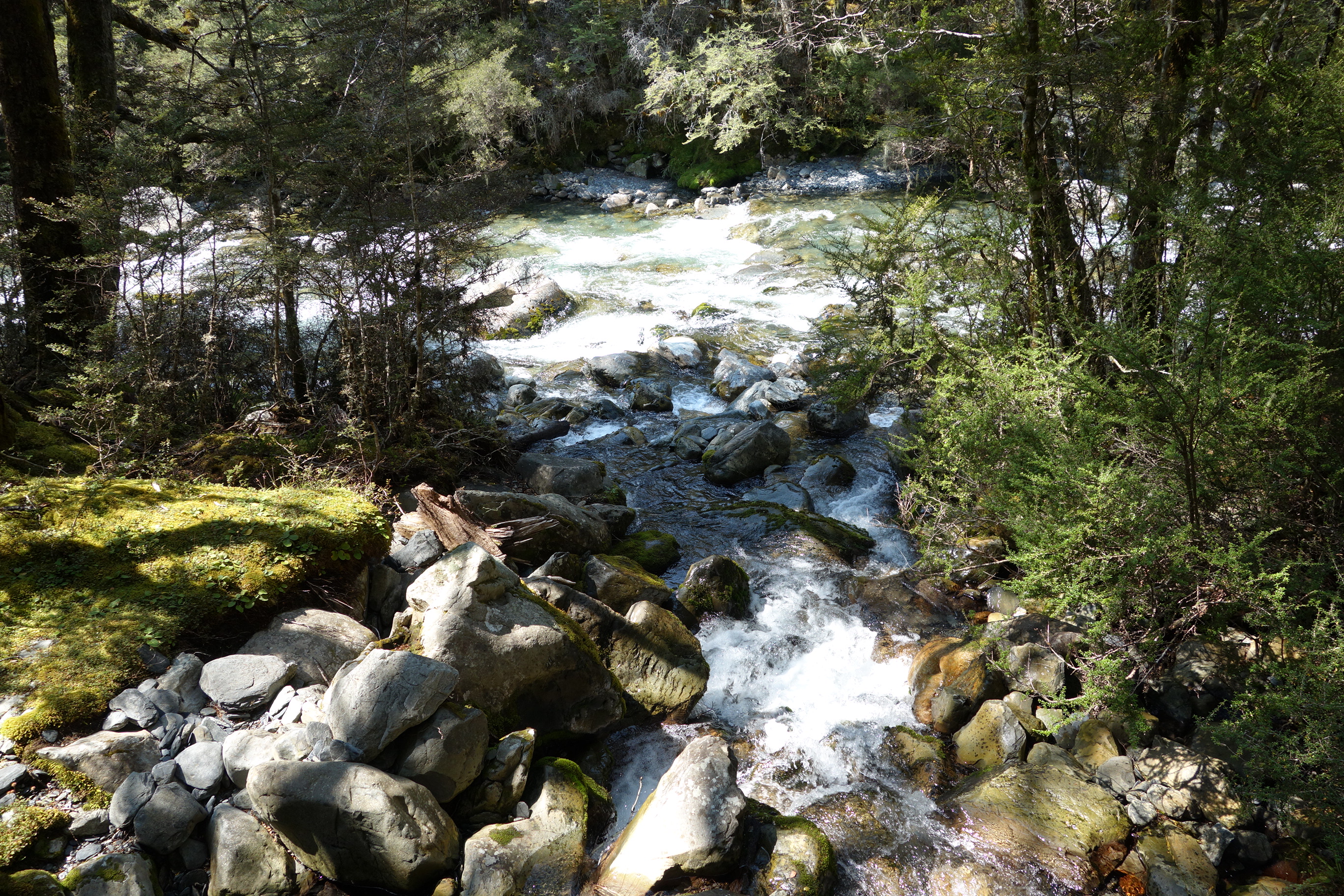
Best Hiking Day:                Lakehead Hut to Upper Travers Hut (Day 45)

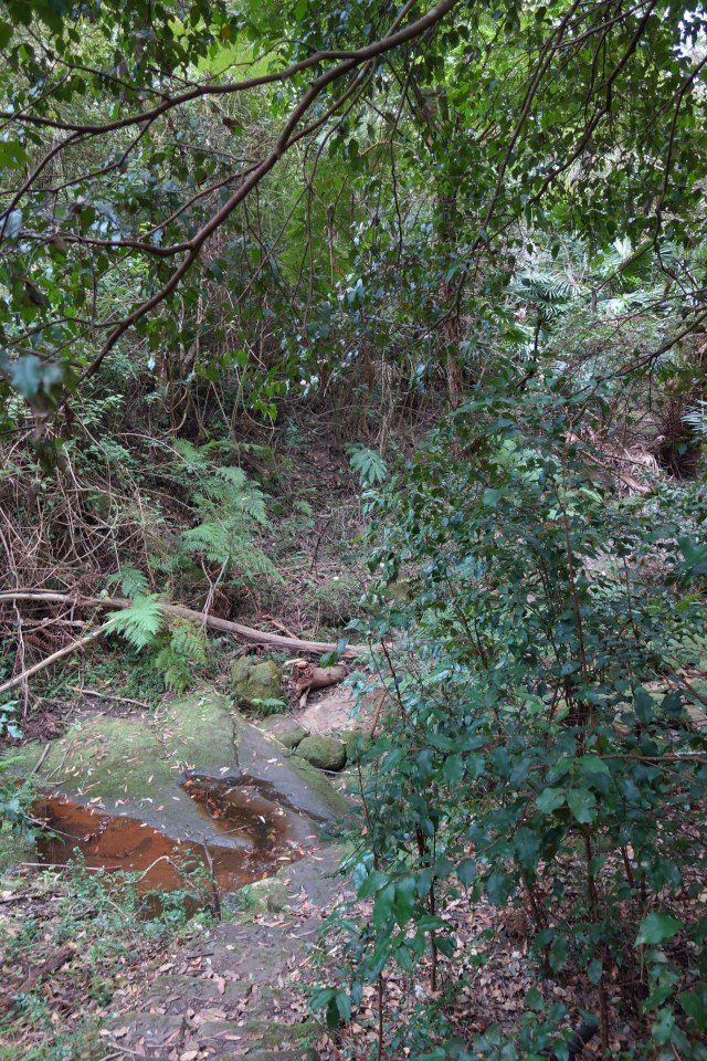
Travers River Sidestream

This day of hiking followed the fast flowing Travers River for most of the day.  The sound of the water over the rocks and the smooth trail in a beach forest made this a very relaxing and enjoyable walk.  As a bonus I got to experience the roaring power of Travers Falls and was treated to other amazing views.  This is also the day I met Graeme and Colin, who became excellent hiking companions for several days to come.  A close second for Best Hiking Day was the one in which I walked the bed of Mangahukapukahu Stream.

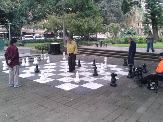
Best Non-Hiking Day:     My final day in Christchurch

When browsing the internet for things to do in Christchurch I saw that the local chess club was having an informal club tournament and when I contacted them they graciously agreed to allow me to join them for the day.  It was a fun day of meeting a great group of guys over a half dozen games of chess.  I won 3 games and lost 3 games and had a great time!

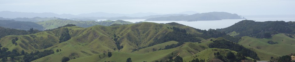
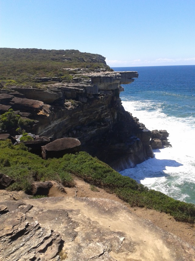
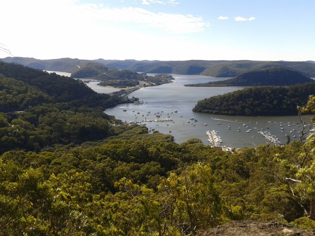
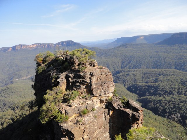
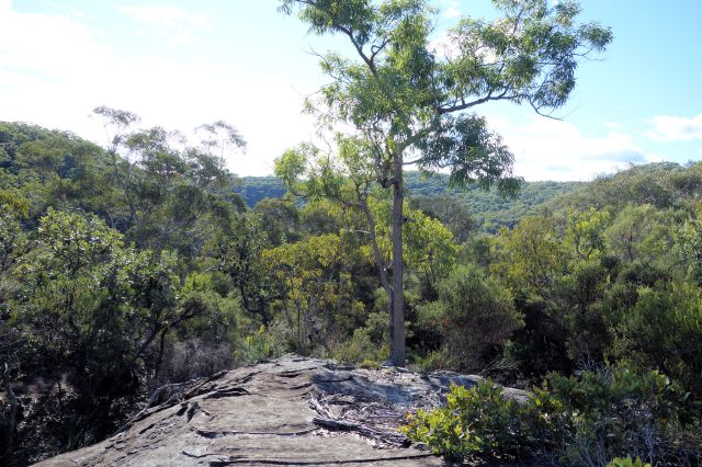
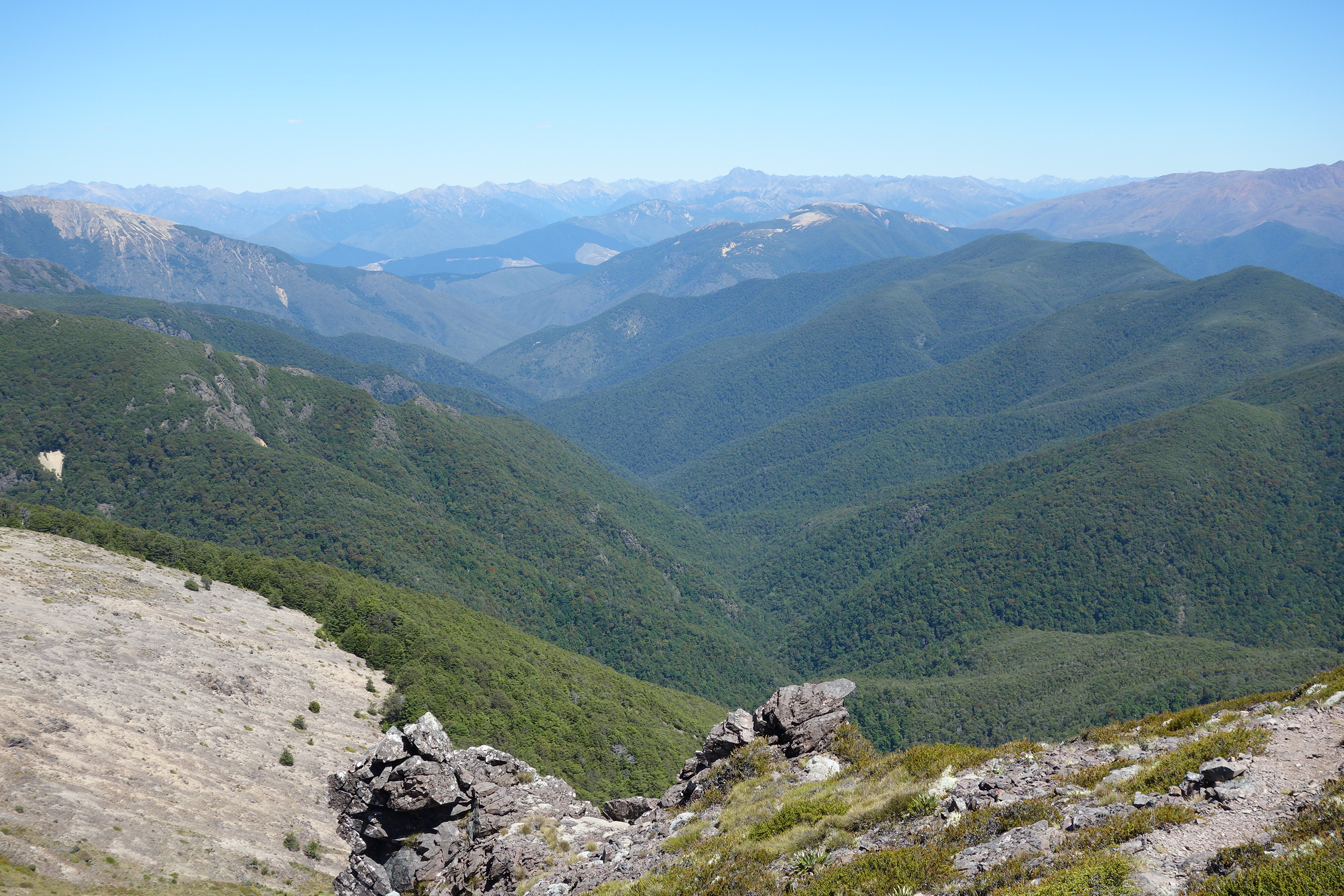
Best Scenic Views:           The Peak of Mount Rintoul

View from Mt Rintoul

Several sections of the track came in a close second:  Tararuas Ridgeline, Waiau Pass, Kauri Mountain and the Bay of Islands to name a few.

Ridgeline in the Tararuas

Lake Constance near Waiau Pass

View near Kauri Mountain
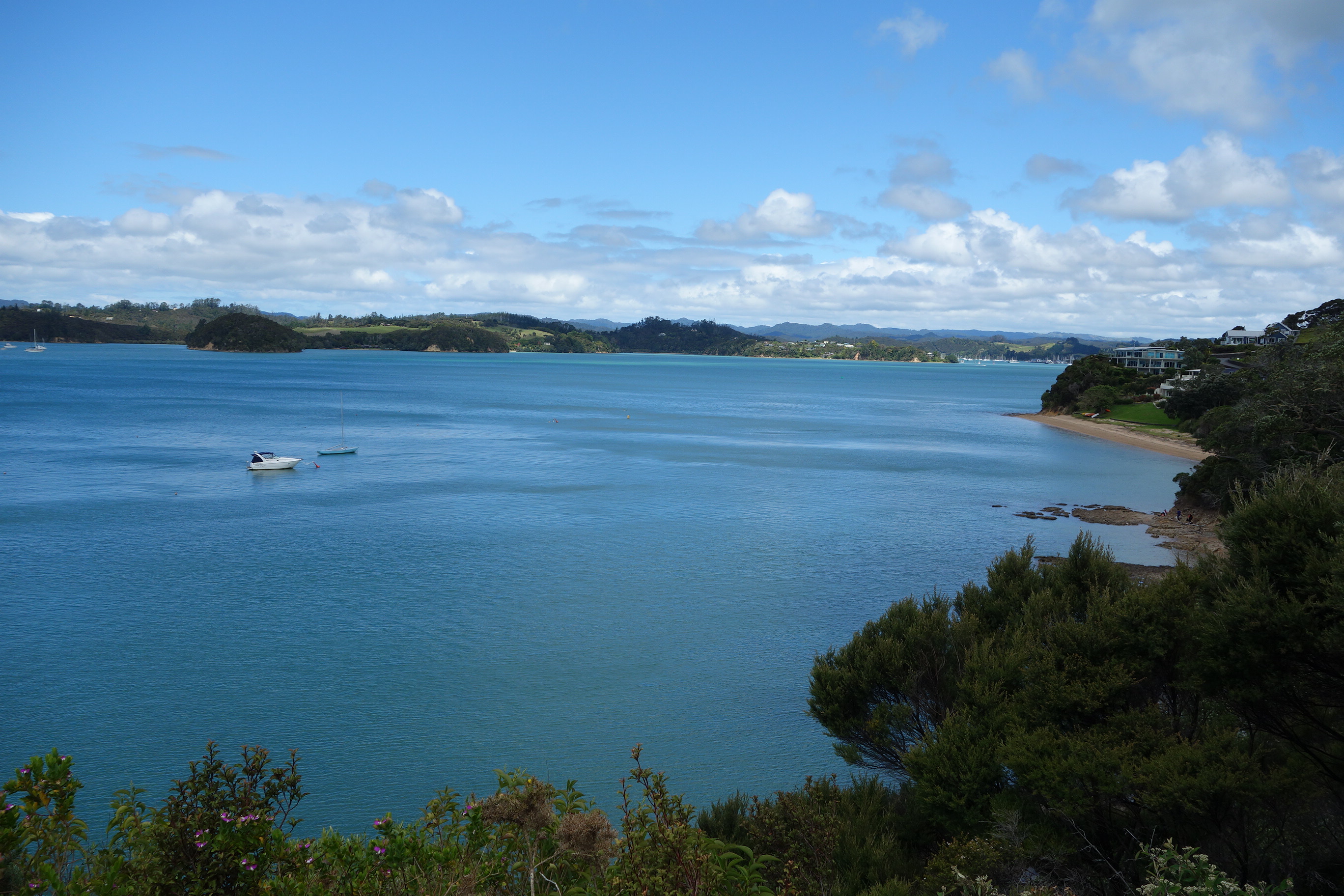
Bay of Islands

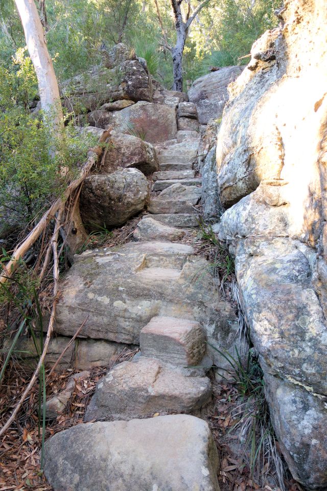
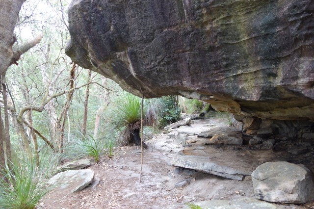
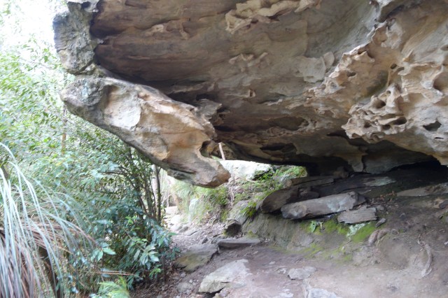
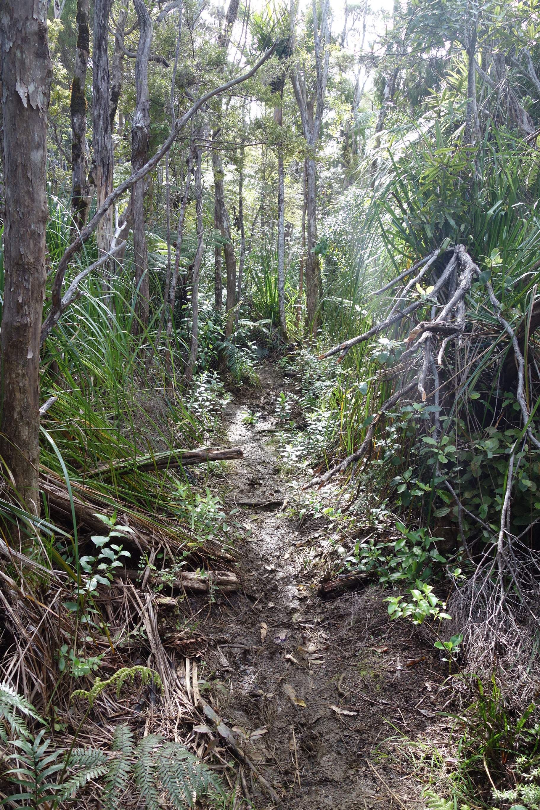
Worst Hiking Day:            Herekino Forest

Typical Herekino Trail

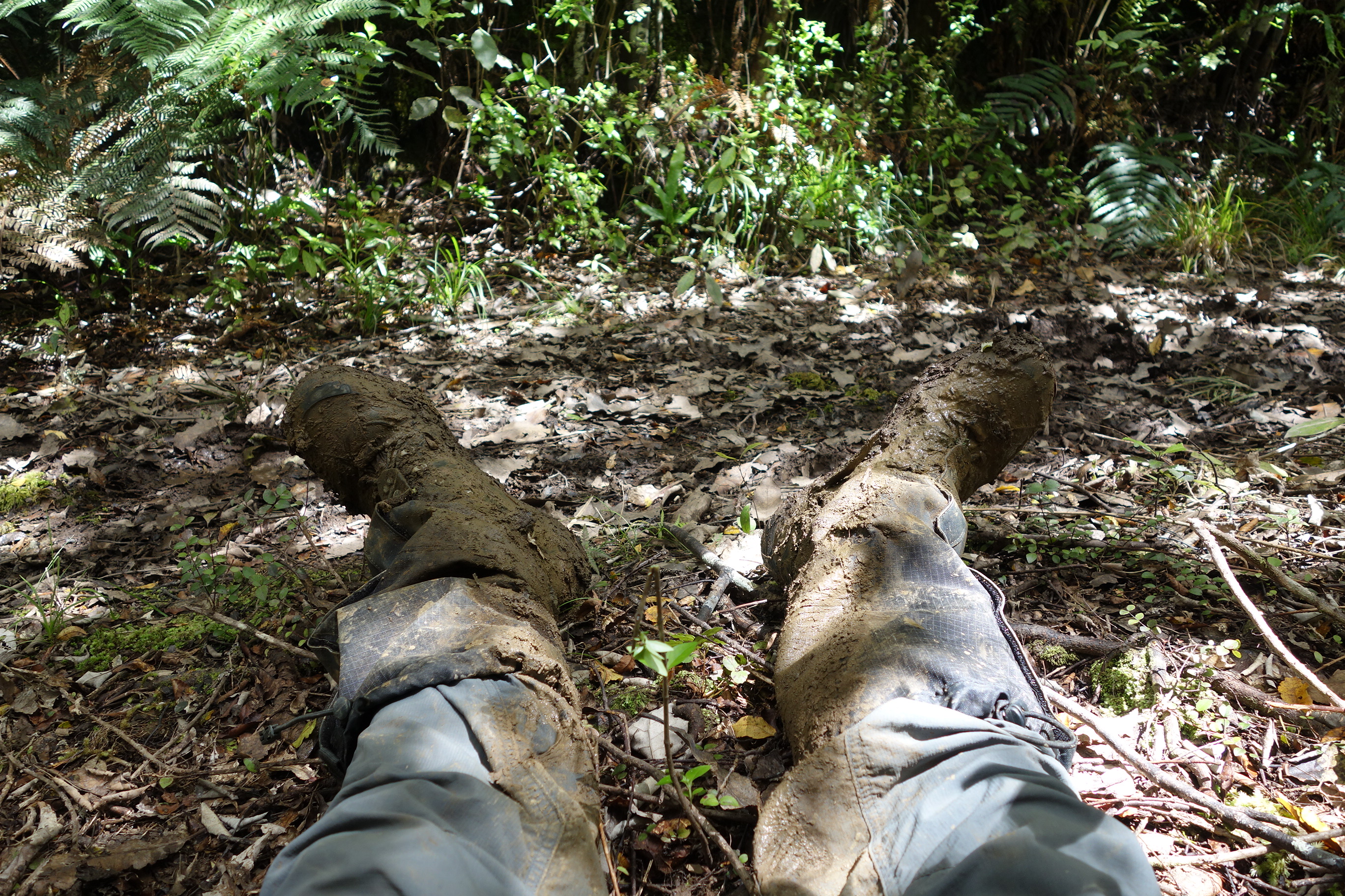
Resting at a Rare Dry Spot in Raiatea

Walking in the muddy, slippery, steep trails was bad enough, but I also broke a trekking pole, cut my hand, lost my hat, twisted my knee and broke my sunglasses.  Raiatea Forest came in a close second for worst, just for the sheer volume, depth and extent of mud I had to walk through.

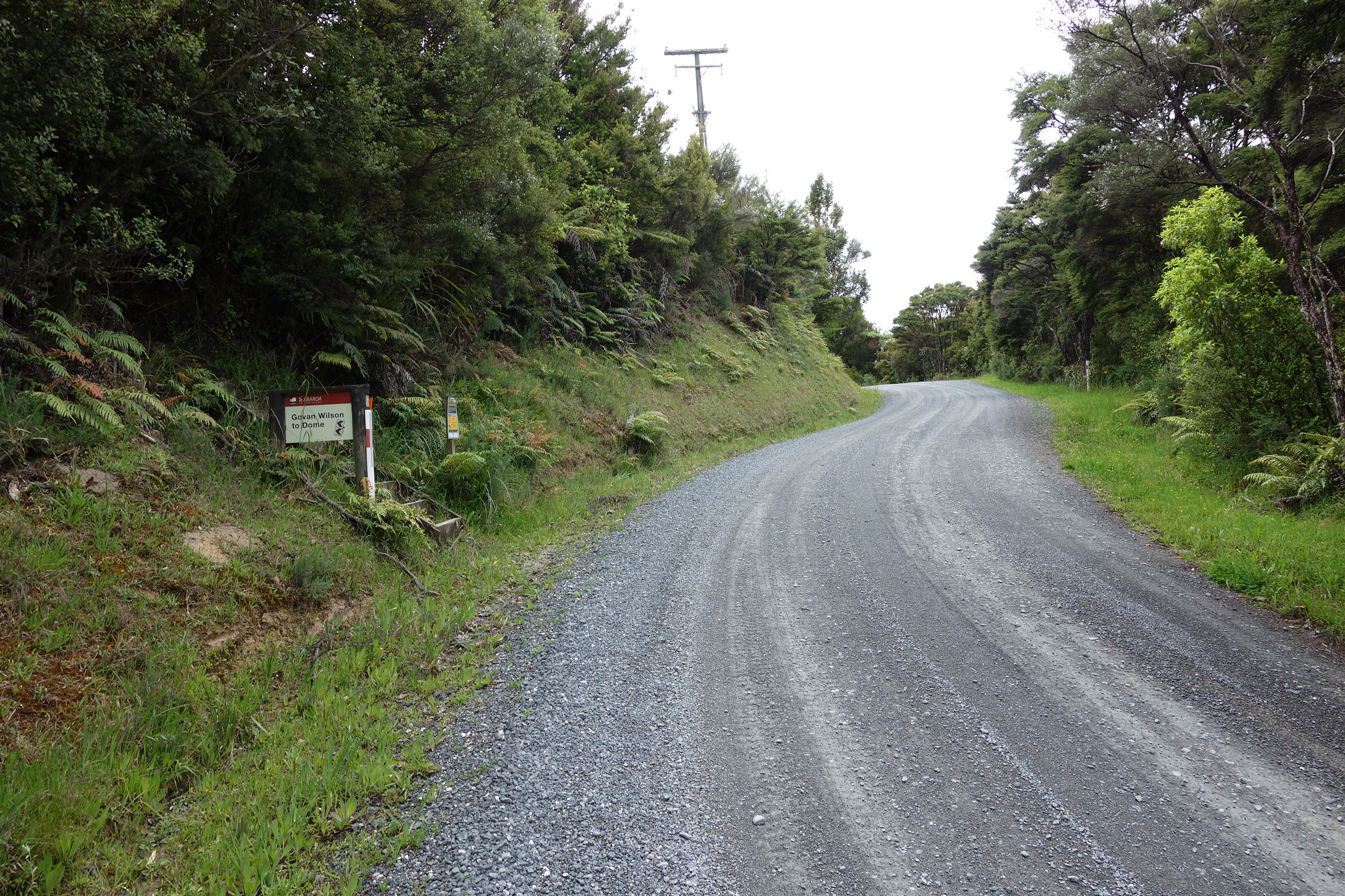
 Worst Moment of the Trip:         At the Start of the Dome Track on Govan-Wilson Rd

479

This was where I accepted the fact that the pain in my shins had become so severe that I couldn’t continue hiking without risking serious damage to my legs.  For a short time I thought my hike was permanently over.

Exceptional People on the Hike

Joerg and Rory who were my traveling companions through the Richmond track:  They gave me great hiking ideas including gear and trail food tips.  They also kept my spirits up in the hot 2-day walk through the Red Hills after more than a week of walking the Richmond Track.  They also kept blogs that can be found at these links: Rory (now hiking the PCT) & Joerg

Rory and Joerg

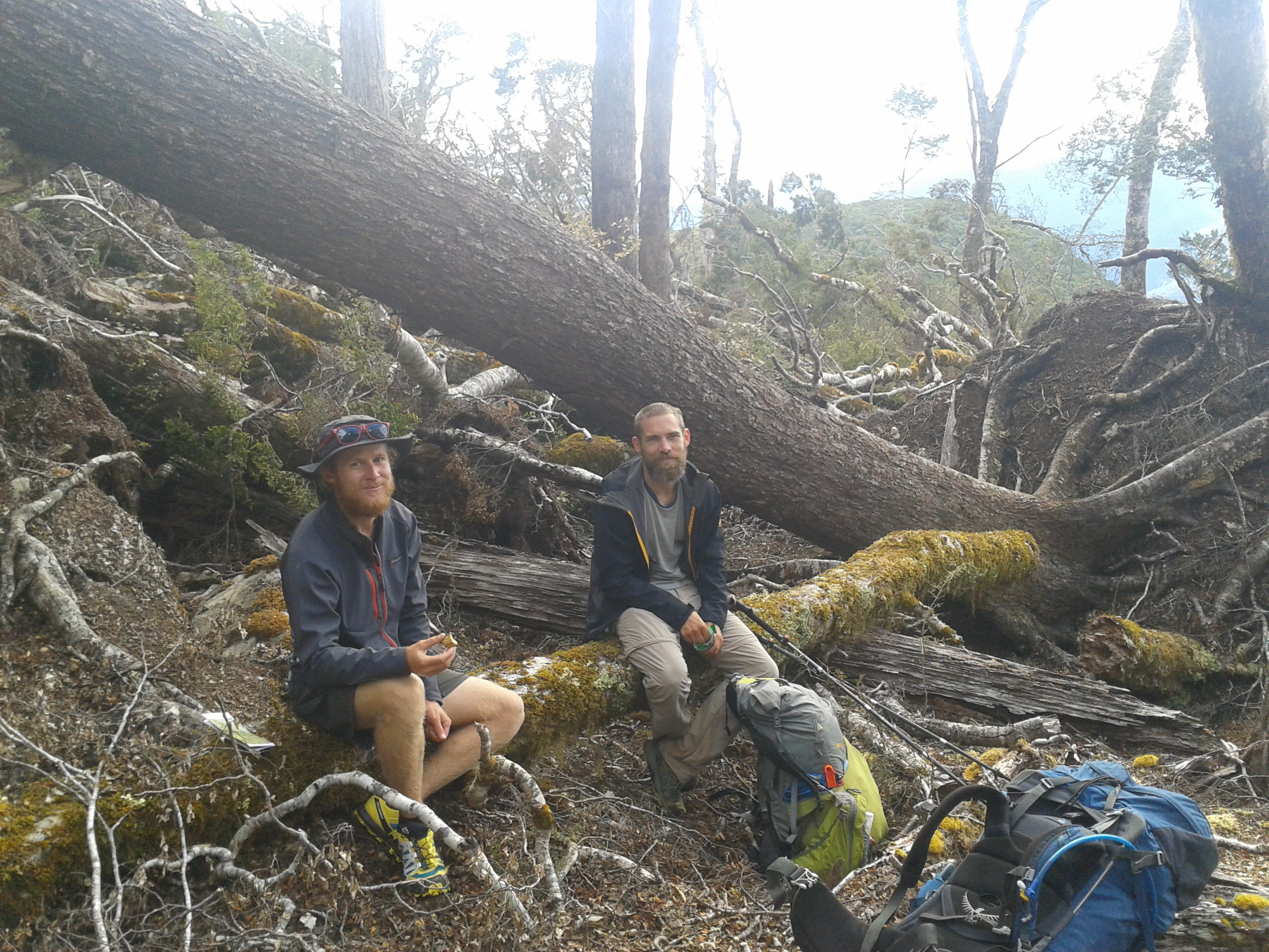
Colin and Graeme who travelled with me through the Nelson Lakes tracks:  They were a pleasure to spend time with.  They introduced me to the simple joy of a warm cup of Milo made with powdered milk.

Colin and Graeme

Matthew and Tracy who manage the Whananaki Holiday Park.  No two kinder souls exist in this world.  They treated me almost as a family member when I showed up dazed and exhausted at their doorstep a half hour after dark without a reservation.  All TA hikers I talked to had the same glowing opinion of these two wonderful people.

Matthew

A special mention for Kirstine Collins.   Although I never met this exceptional person she represented the soul of this year’s TA Hike.  Nearly everyone I met on the trail was aware of her blog and most had copies of the maps she prepared and supplied online with notes added to aid other hikers.  I personally checked her blog posts before going out on each section to read up on any tips and issues that she would warn her followers about.  Kirstine’s blog can be found here.

Kirstine Showing the Way

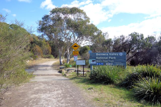
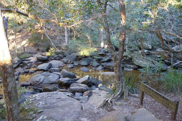
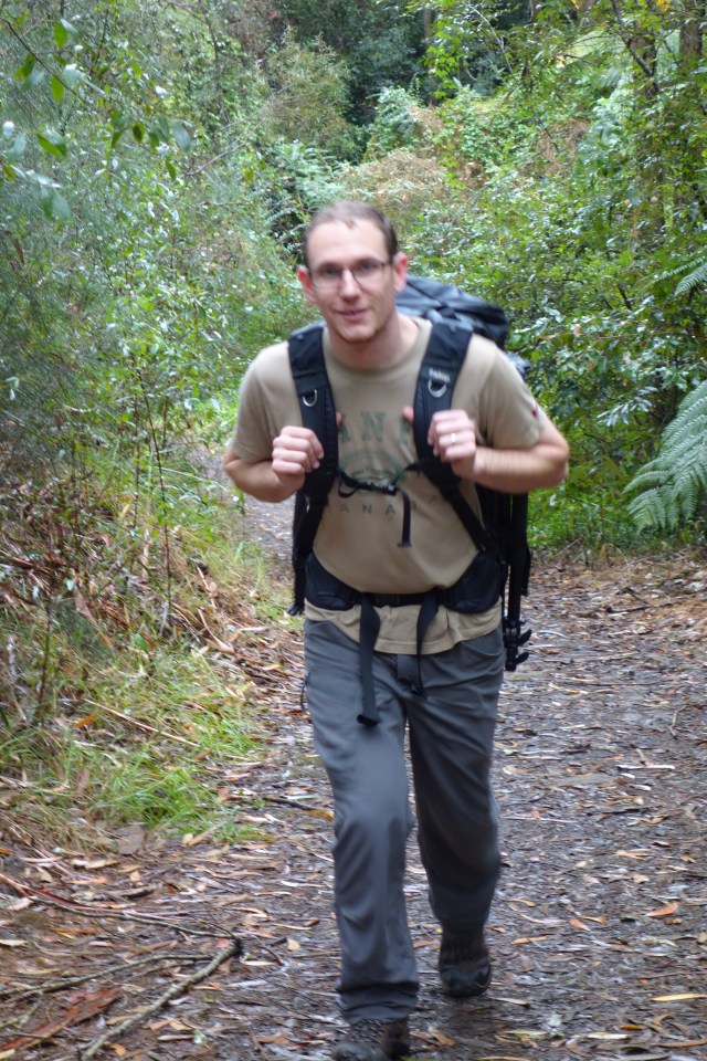
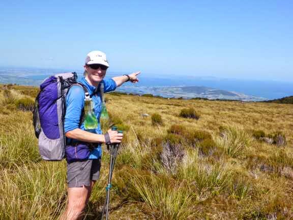
Thanks to my good friend Mark who kept dibs on me, ready to call out the cavalry to find me if I did not emerge from a trail section in a reasonable amount of time.  By the way, Happy Birthday Mark!

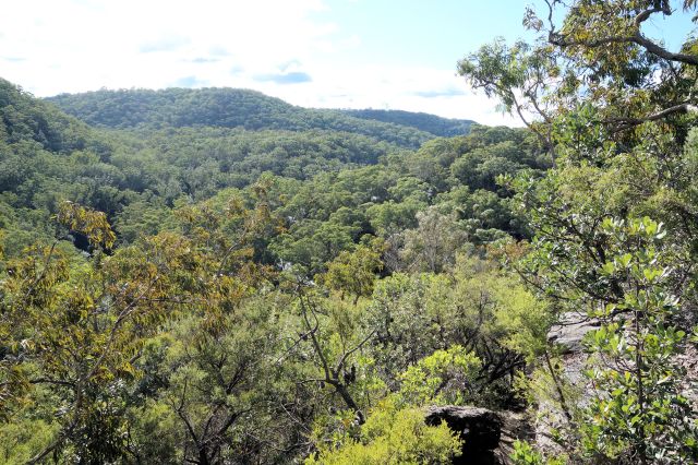
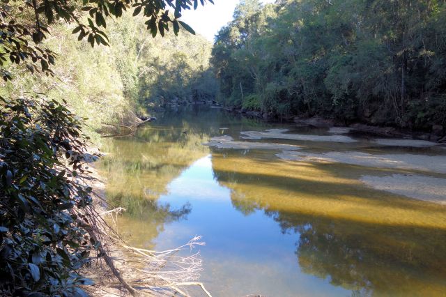
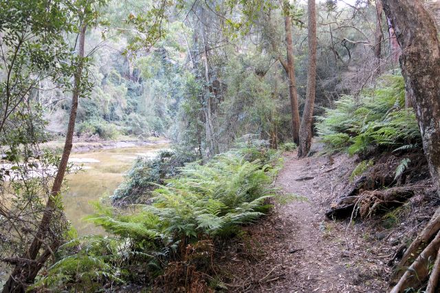
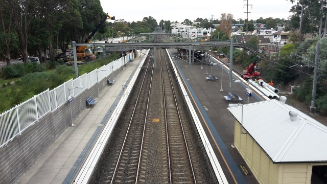
Mark on a Hike near Berowra

What Next?

I’ve already been asked by several people, what’s next on my hiking/adventure horizon.   This weekend, which is about as far forward I am currently thinking, I will unpack the remaining boxes and bags from storage and set up my new apartment in Crows Nest.  The only significant event I have pencilled on my calendar is a chess tournament in July.  The day of playing in Christchurch has reawakened the chess bug in me, so I’ve dusted off my chess pieces and started working on my game again.

Will I attempt any other Long Hikes in the future?  .  . .  Before this hike I had considered the Appalachian Trail and the Pacific Crest in the US, as well as the E1 Trail in Europe.  But now I have doubts about any future thru-hikes.  I would still like to hike sections of all these trails and others.  But I discovered in NZ that I get more enjoyment from taking shorter hikes with long breaks in-between rather than the extended epic hikes.  For example on the 9-day tramp through the Richmond Track and Red Hills, the first 5 days were awesome, but by the final 2 days I was almost to the point of counting the remaining steps to civilization.  So I think my future hikes will be done in sections of less than a week in the wilderness at a time.

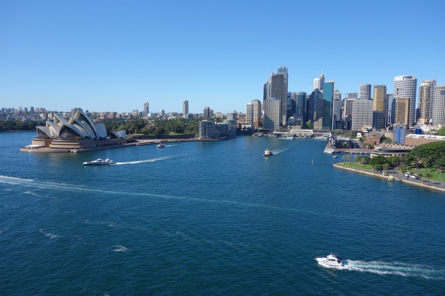
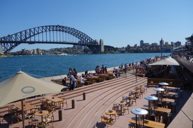
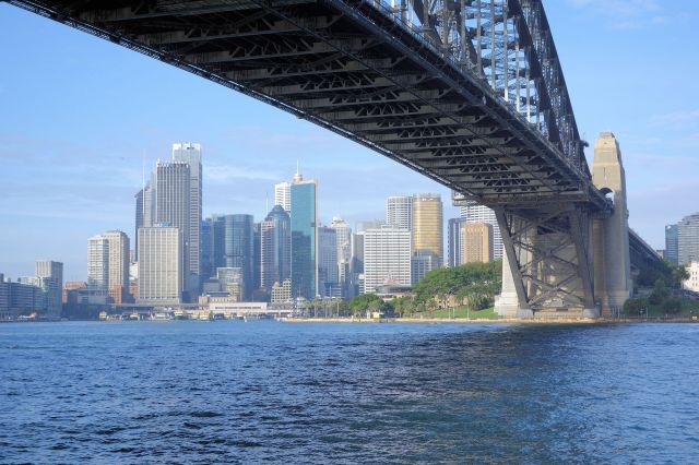
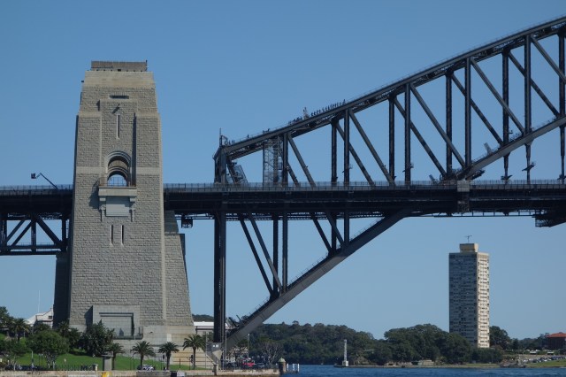
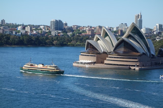
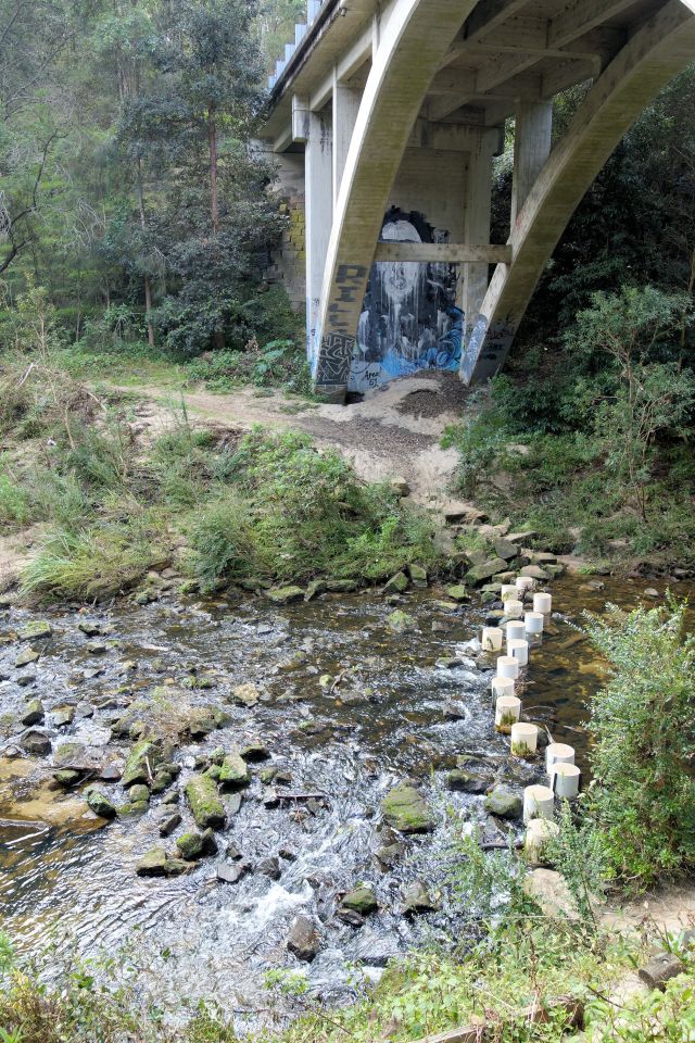
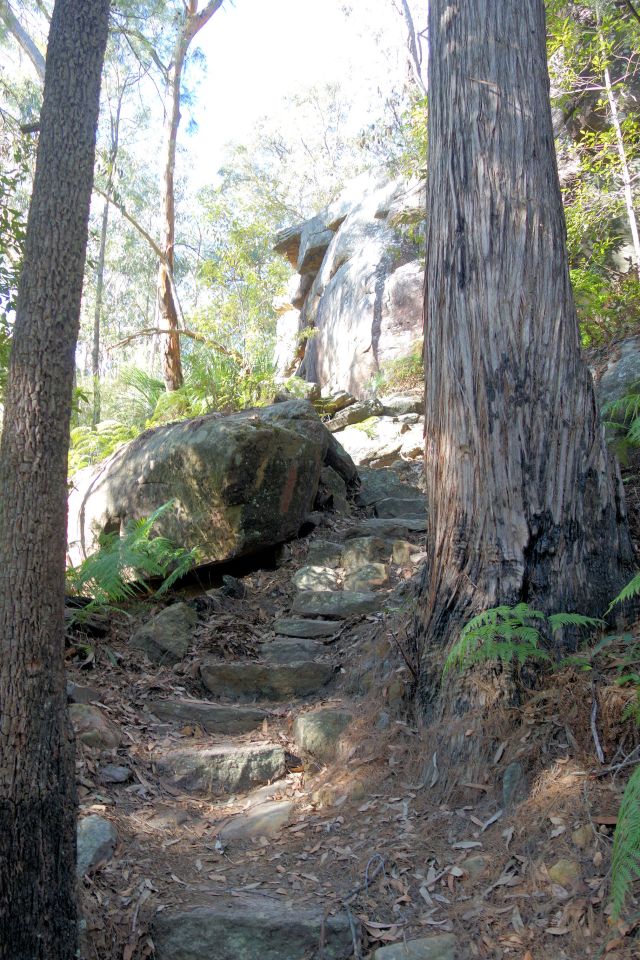
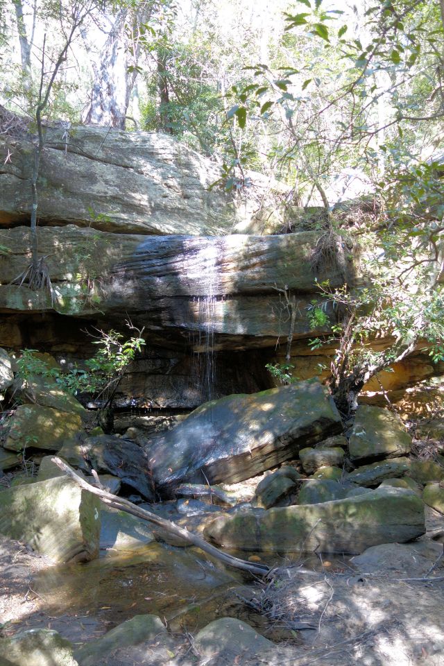
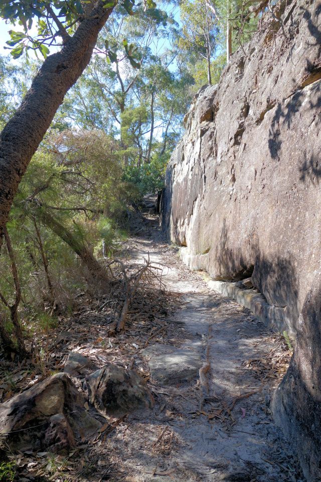
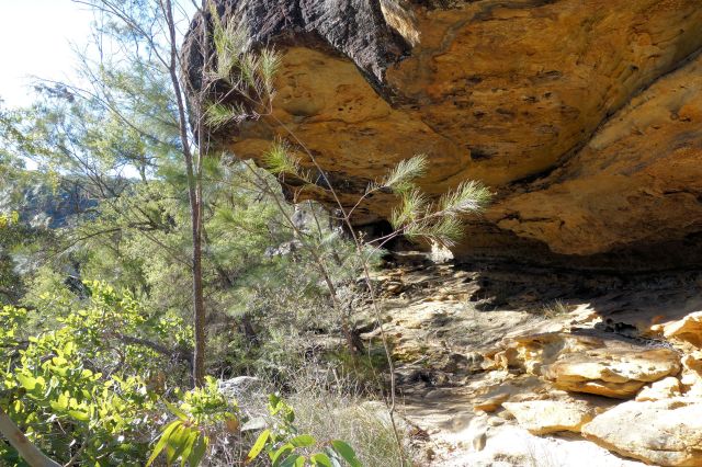
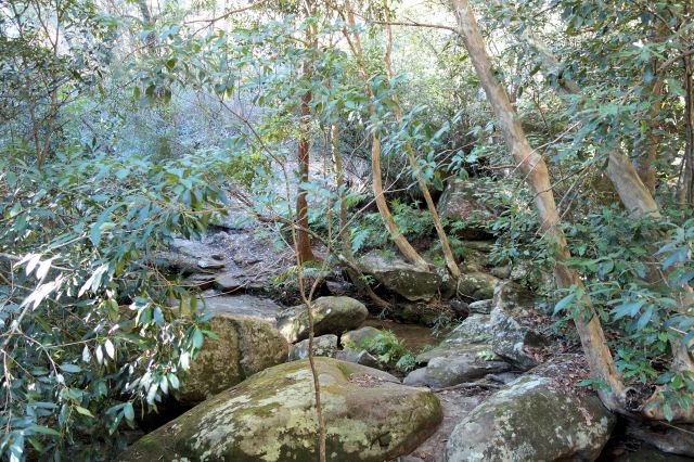
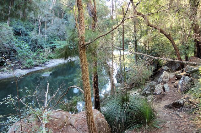
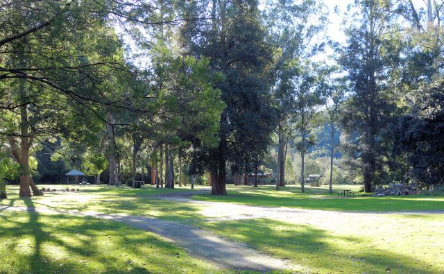
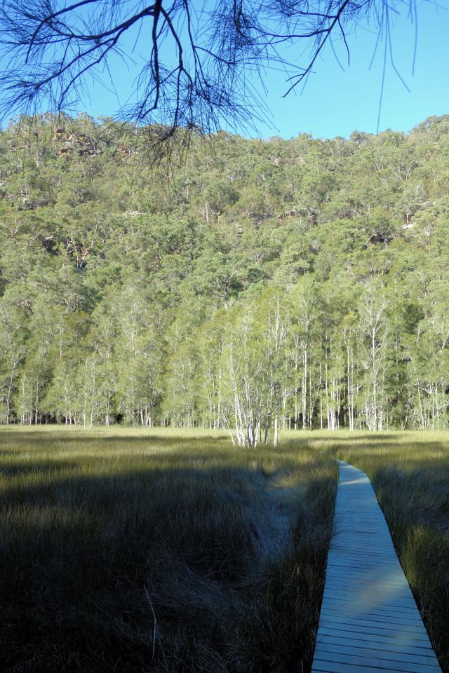
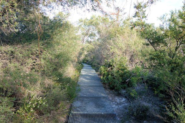
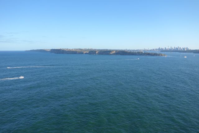
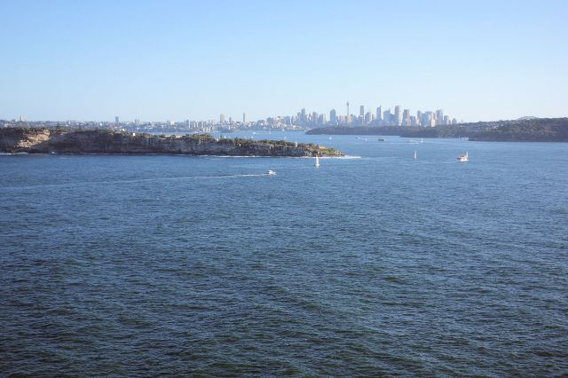
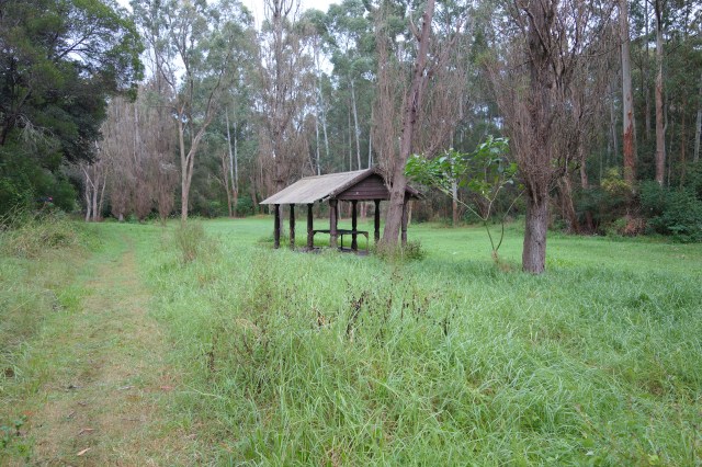
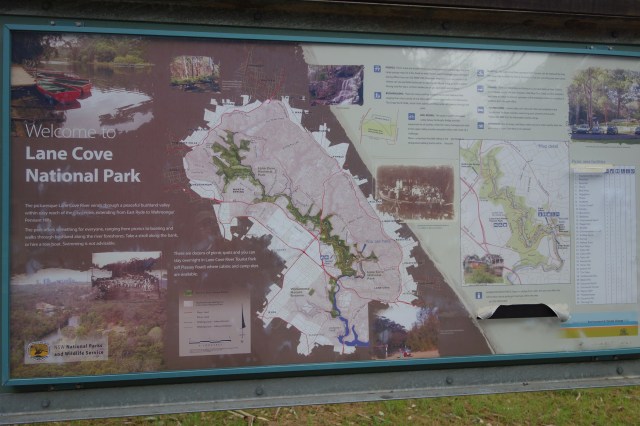
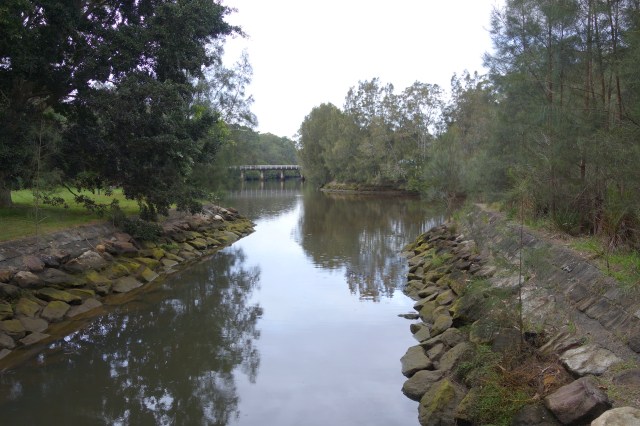
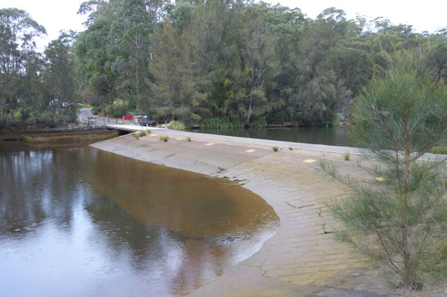
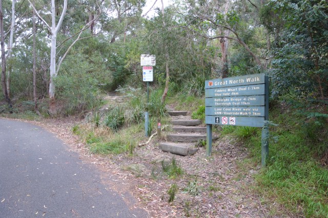
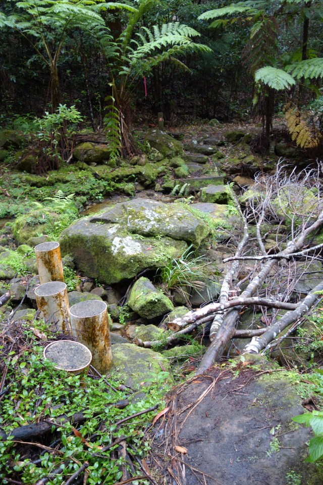
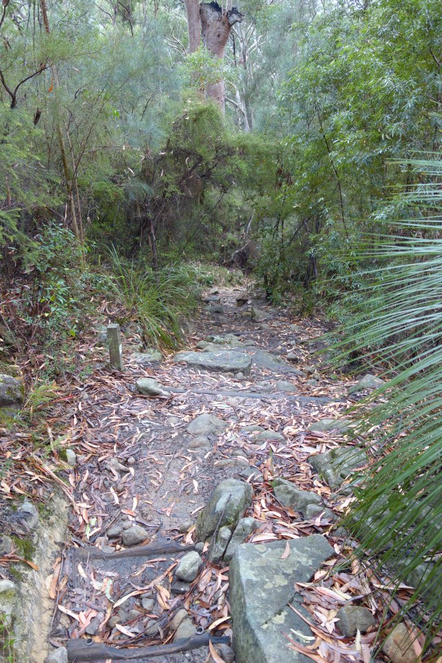
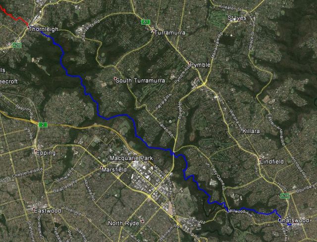
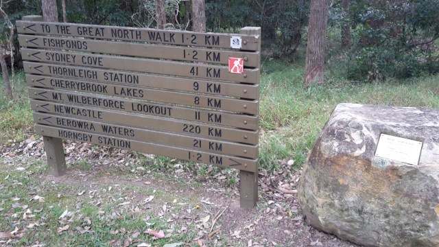
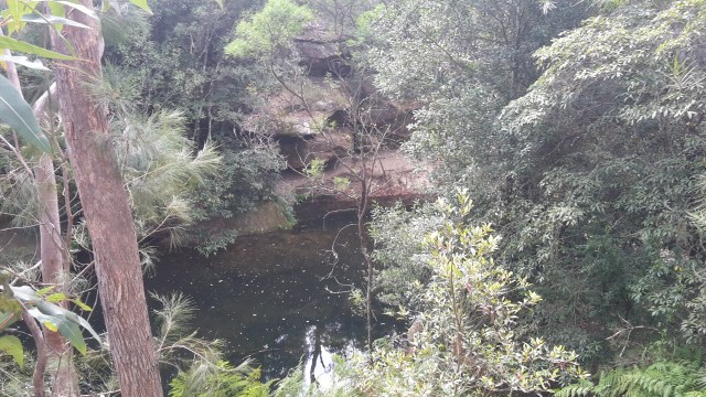
Before long I’ll be back to doing day hikes in the Sydney area.  There are still a lot of trails in the Blue Mountains I want to walk as well as sections of the Great North Walk that I’d like to hike again.   So if you’re ever in the Sydney area, look me up. I’d love to take you on a walk of one of these great trails!


Posted in Uncategorized | Leave a comment

Day 62: Auckland CBD to Browns Bay

20km Day : 1121km Total
1 April 2015

Today I walked Auckland’s Northern Coast.  The walk started by catching the 8:45 ferry to Devonport from Auckland CBD.  The ferry was nearly empty since the morning commute is in the opposite direction and I had the entire upper deck to myself.  This gave me the opportunity to walk from side to side of the boat looking at the sites without someone seeing me as the gawking tourist that I was.

image

Auckland Ferry Termimal

image

Auckland CBD

image

Auckland Harbour Bridge

I realised once the ferry got under way that I forgot to bring my sun glasses.  An absolute necessity to walk the coast on this bright sunny day.  So my first stop in Devonport was to pick up a pair of sunnies.

image

Devonport with Auckland in the Background

Today was a first in several respects.  It was the first section of Te Araroa that I walked Northbound.  It was also the first section I walked in blue jeans and running shoes, and only the second section I walked without my backpack, so I hesitate to call it a hike. 

After a few kilometres I came to a park at North Head with old gun emplacements and bunkers which I spent some extra time exploring.  The bunkers were very extensive and to fully explore them I would have needed a flashlight.  I was a little surprised that the deep dark tunnels were not gated off.

image

Haraki Gulf Maritime Park

image

Cheltenham Beach from North Head

It was a beaut of a walk with equal parts of walking beaches, rock hopping at the bases of cliffs  and walking sidewalks through suburbs. I stopped in Takapuna for a leisurely lunch and rewarded myself at a pub in Browns Bay with a cider at 3pm.

image

image

image

image

image

I got my hair cut earlier this week.  I had a lot cut off but still left it long in comparison to the close cut I had before this hiking trip.

image

Posted in Uncategorized | Leave a comment

Day 61: Paekakariki to Porirua

24 km Day : 1101 km Total
19 March 2015

This morning started with a walk on a path between the highway and the ocean until it reached Pukerua Bay, where it climbed a hill into the village and the turned South along the Araharakeke Pathway.

image

Pukerua Bay

image

Araharakeke Pathway

The entire walk today was on paved paths and sidewalks, quite a change from hiking the Tararuas.  I walked on grassed areas as much as possible to reduce the stress the hard surface can have on the legs. 

image

Onehunga Bay

image

Porirua Harbour

After reaching the north end of Porirua the path traveled through a couple of the local attractions.  Aotea Lagoon is a large park that has playgrounds, walkways and picnic areas.  The Adrenalin Forest is a confidence course with obstacles to travel through among the tree branches.

image

Adrenalin Forest

All in all it was a nice relaxing walk for the day.

Posted in Uncategorized | Leave a comment