Lat, Long: 44.478965, -121.843059
19 June 2017
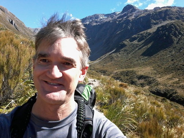
As many of you may not know, I have recently moved to Oregon to study towards a computer science degree at OSU. I am really enjoying living in Oregon and it’s fun taking classes again.
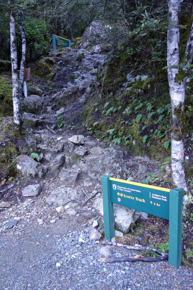
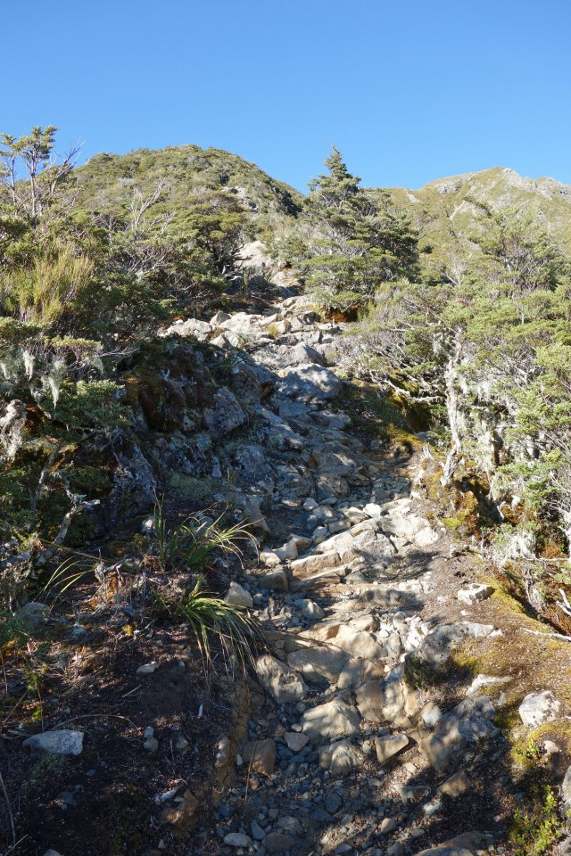
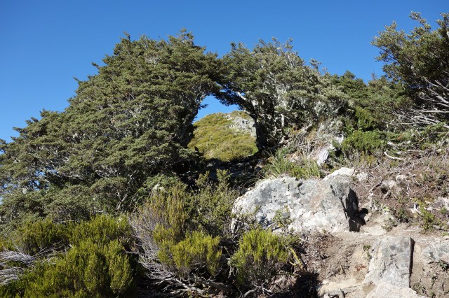
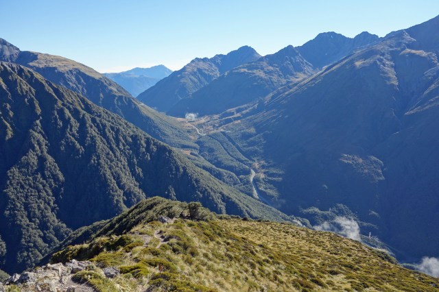
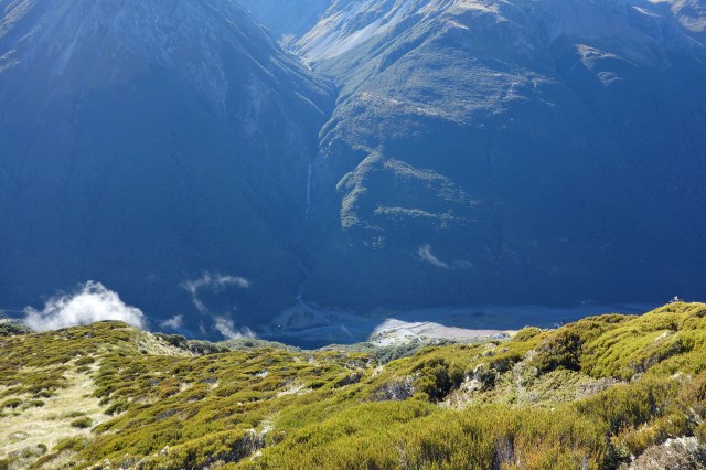
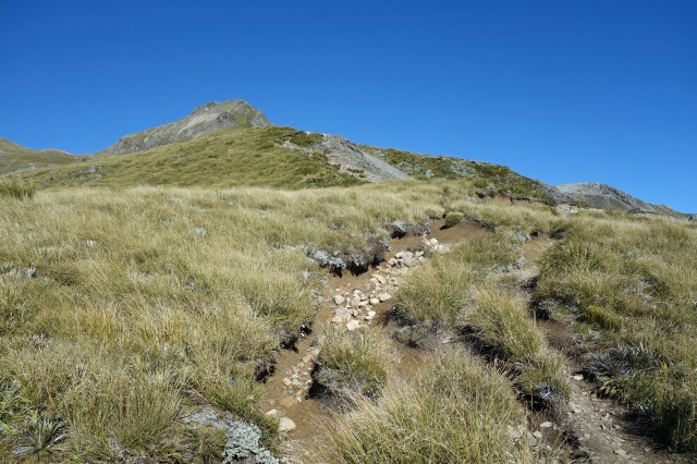
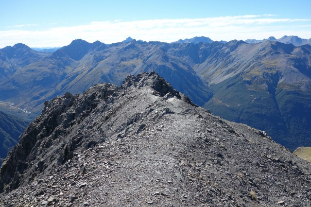
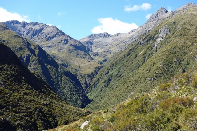
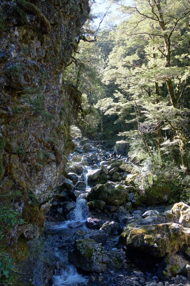
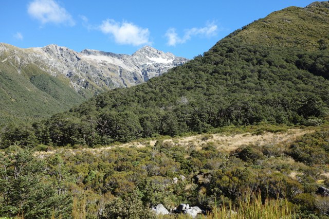
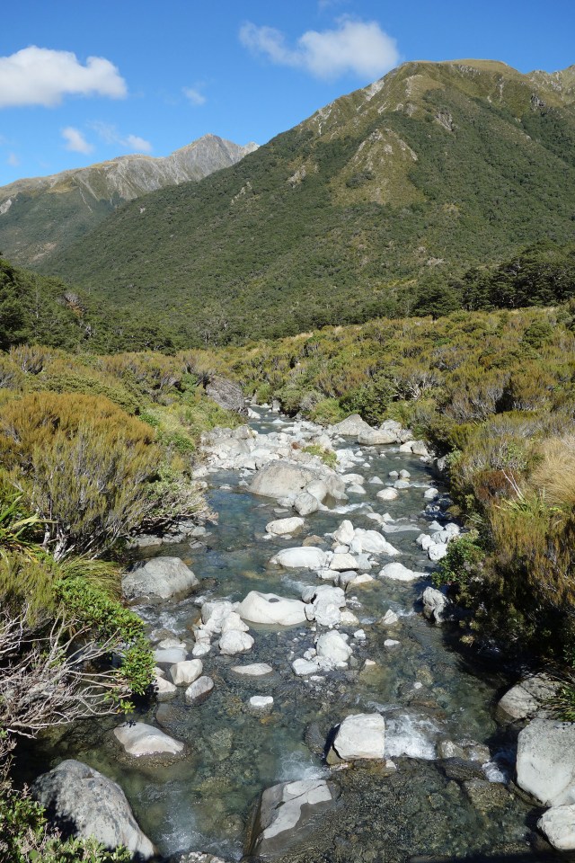
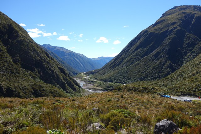
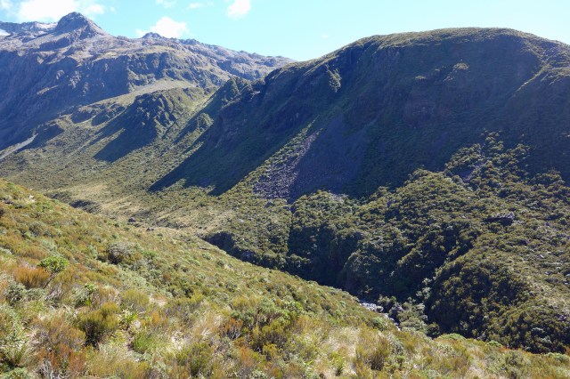
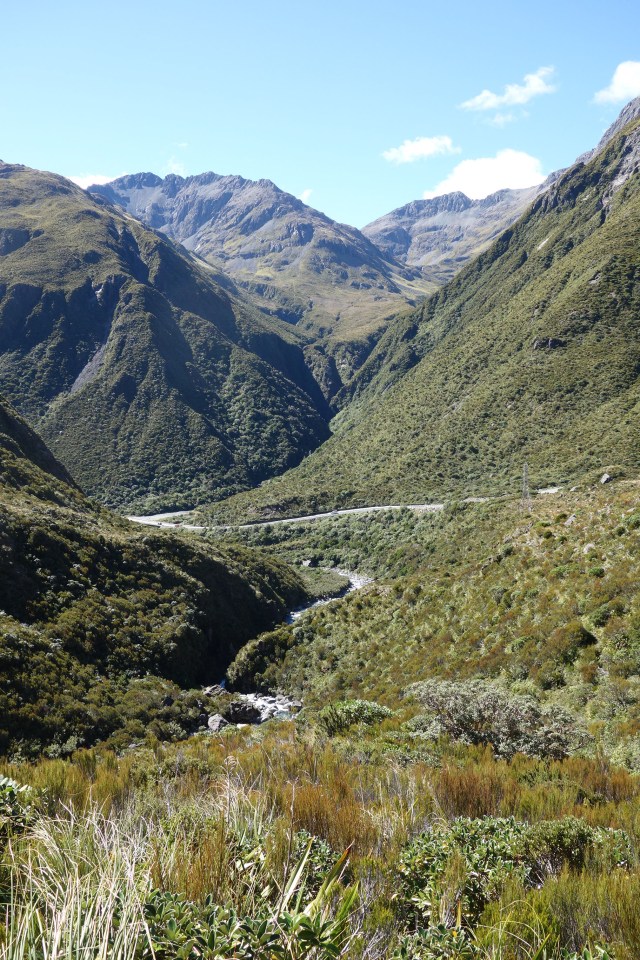
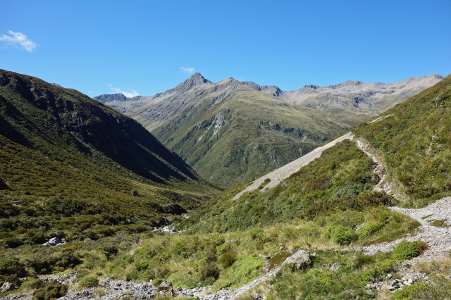
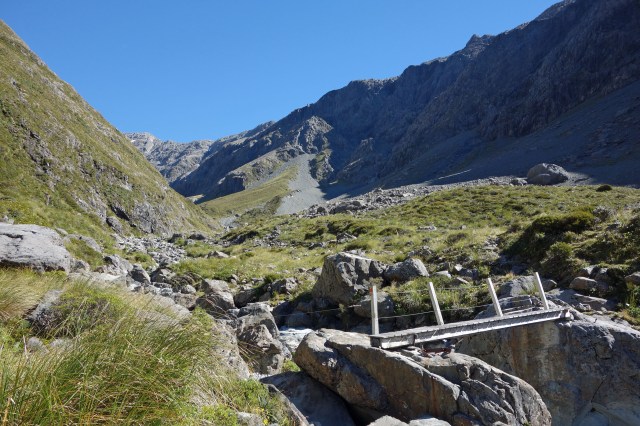
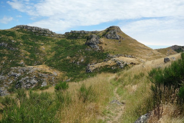
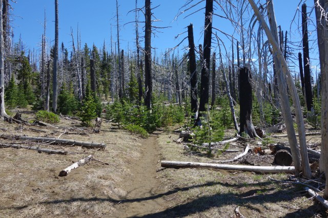
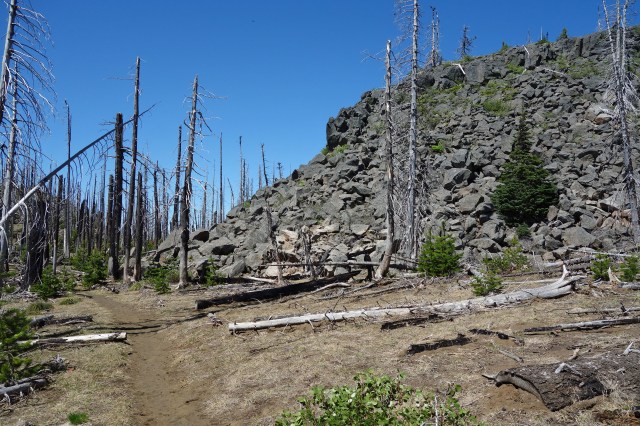
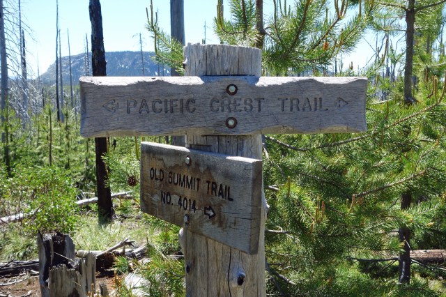
We are currently in the break between quarters and I took advantage of the beautiful weather yesterday to take a day hike in the Willamette National Forest. The trail was a short section of the Pacific Crest Trail near the mountain named Three Fingered Jack. You can see from some of the photos that there was a forest fire here a few years ago, but that the new growth is starting to take hold with lots of small pine trees between 1 and 3 meters tall.
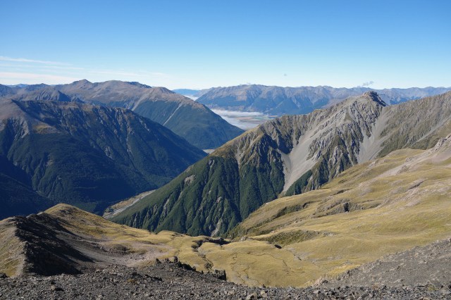
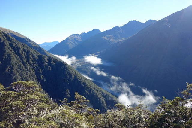
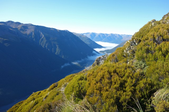
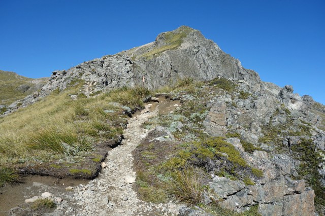
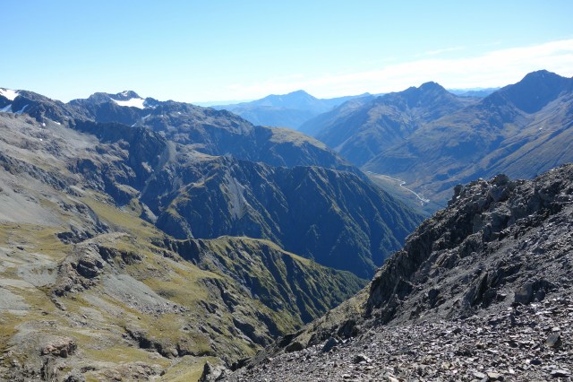
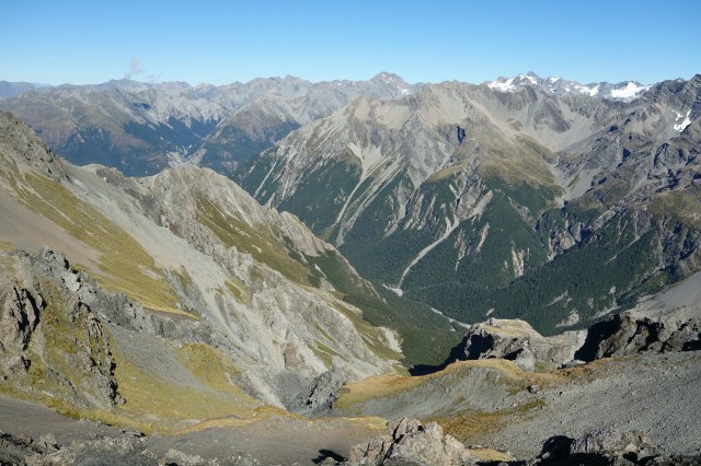
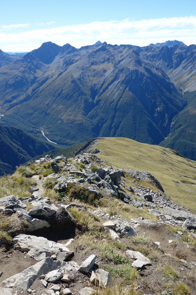
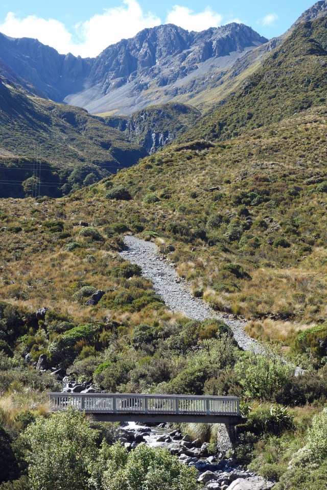
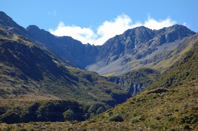
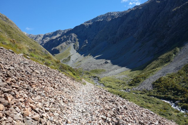
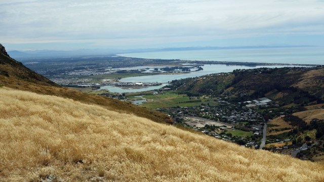
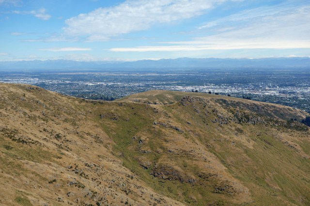
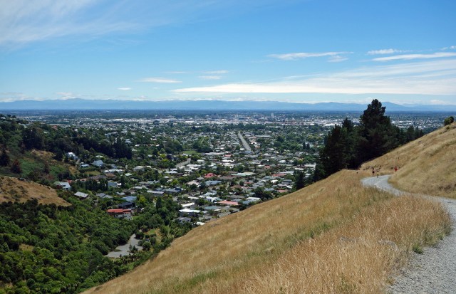
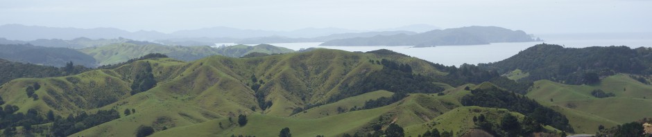
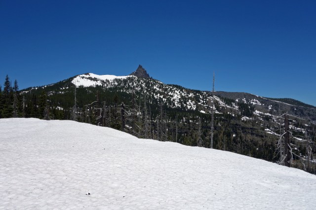
Although I was hiking toward Three Fingered Jack, the better views were actually to the south toward Mount Washington. The view forward was obscured by a ridge so the photos of Three Fingered Jack are mostly of just the peak. I had hoped to get closer for good views of this mountain, but when I was about 2 miles short of my goal, I ran into snow pack about a meter deep, which I was not prepared for, so had to turn around early and never got a full view of my goal. Although tramping through deep snow in 85 degree weather was a unique experience.
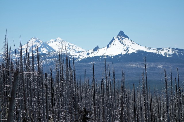
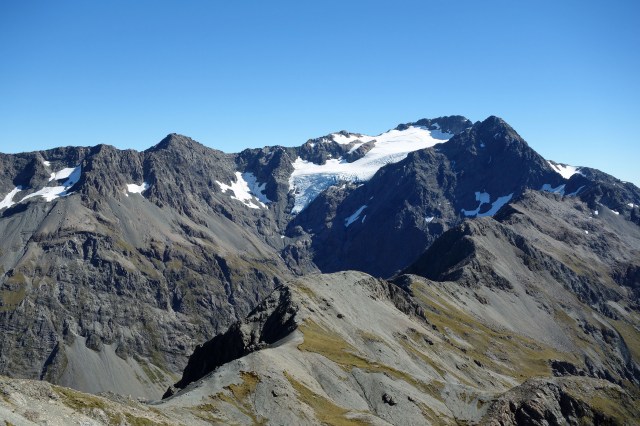
The Sisters and Mount Washington
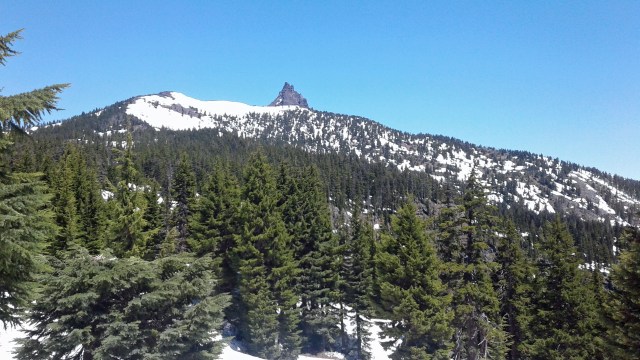
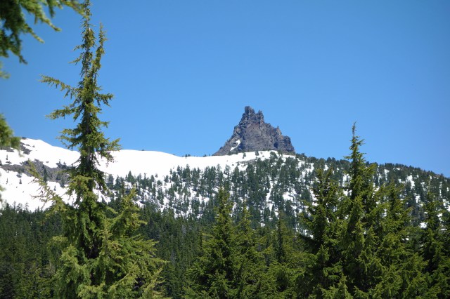
Three Fingered Jack
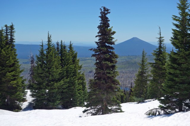
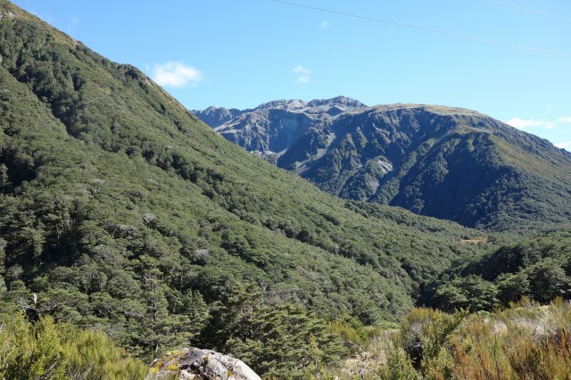
Black Butte
The main form of wildlife that I saw during the hike were chipmunks. They were constantly running across the trail, but rarely stayed in one place long. It turned into a game for me to try to catch one stopping long enough to get a photo. I finally got a pic, but had to stop 30 ft short and use full magnification on my camera to get the shot. As soon as I took one step after the photo, the chipmunk was gone.