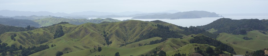
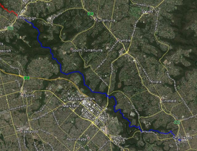
On Saturday I left Chatswood at 8 a.m. First winding my way through the back streets of Chatswood and then reaching the entrance of the Blue Gum Walking Track, adjacent to a small playing field where a game of soccer was being played by children with a group of parents cheering them on.
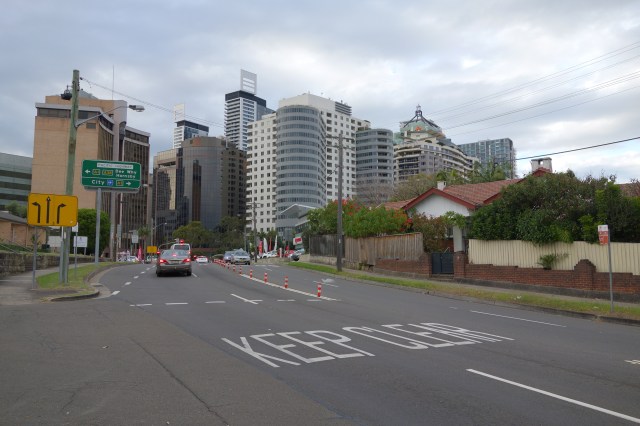
Leaving Chatswood
This section of track was only a kilometer long, but was a pleasant walk along the Blue Gum Creek to the Lane Cove River. The creek was little more than a trickle of water because of little rain in the area recently, but as I began on this walk a mist was beginning to fall on me with the expectation of more rain to come this morning. So I was prepared for a wet walk.
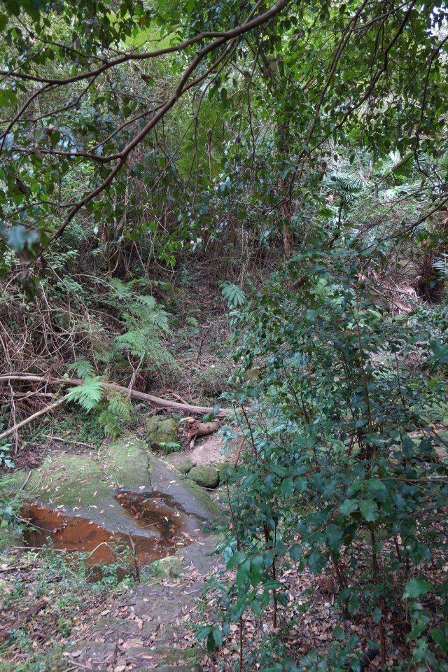
Blue Gum Creek
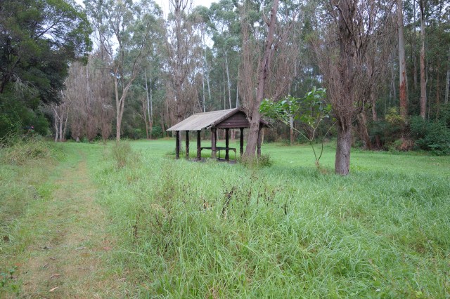
As I approached the Lane cove river I passed under what appeared to be an abandoned rail bridge and soon after passed by a deteriorated picnic shelter. I can only guess this area was abandoned when the main Lane Cove Park recreational facility was developed on the other side of the river.

After crossing the road and river into Lane Cove Park I entered a well developed recreational area. This is an area I am very familiar with because the Infrastructure Department of my company had yearly picnics out here when our office was still in Chatswood.
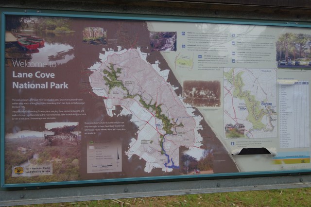
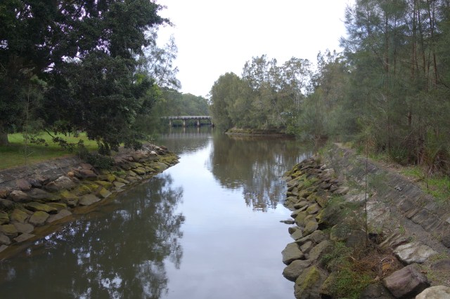
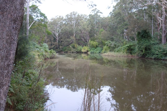
Lane Cove River
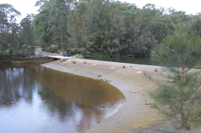
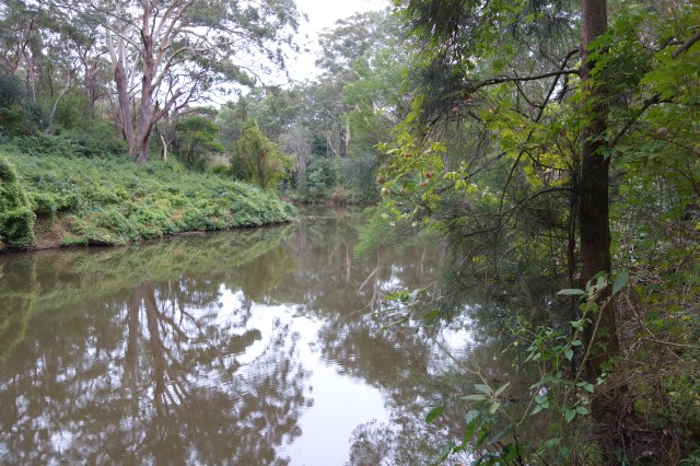
Lane Cover Wier
In the park I saw some of the local wildlife. A bird that most in the Sydney area will recognize, the Bush Turkey. It is a little shaky to call them wildlife, since in many Sydney residential neighborhoods they are as common a squirrels are in most city neighborhoods in my home state of Michigan in the US.

Bush Turkey
At the Northwestern end of the recreational area I entered the start of the Lane Cove Walking Track.
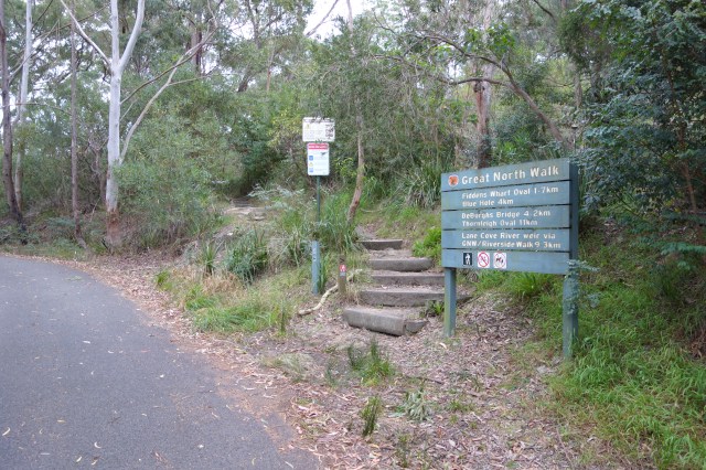
Track Starting Point
As I was walking this track I was watching the time closely so that I could meet up with my friend Mark near Macquarie Park. Mark is a talented amateur photographer and was bringing his equipment with him to capture some of the scenery along the track. I was expecting to meet him around 10 a.m. at the A3 highway crossing.

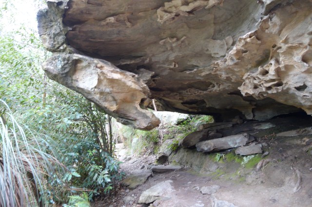
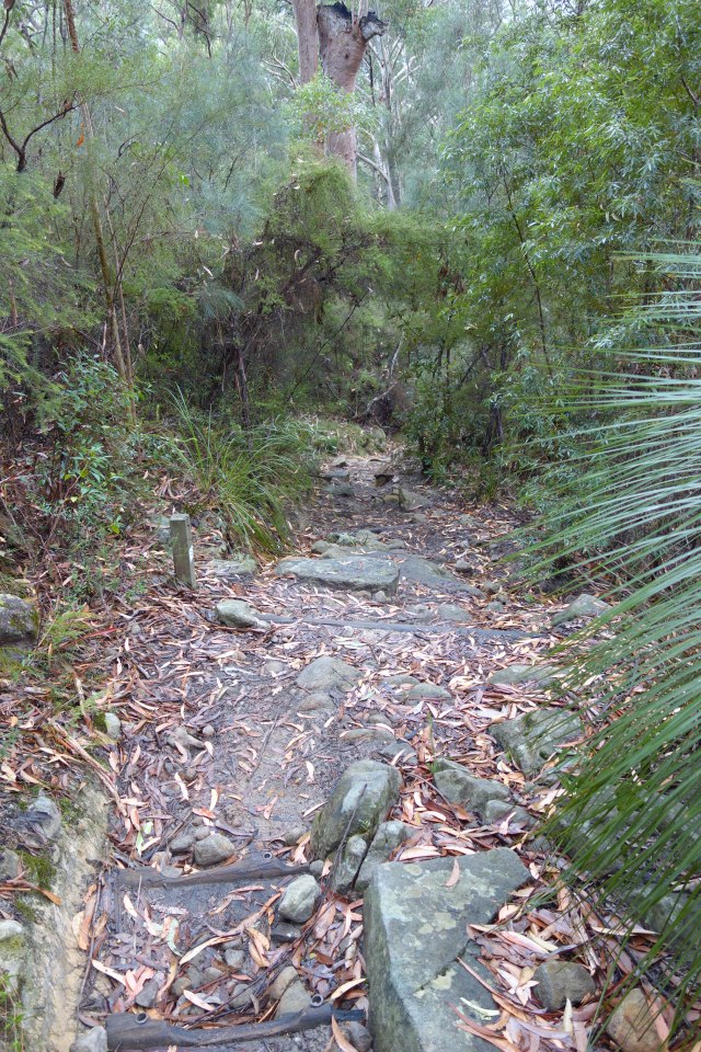
Along the trail there were several overhanging rocks that you needed to walk under as part of the path. One of the rocks has stick jammed under it and into the path. I did not touch the stick . . . Just . . . In. . . Case.
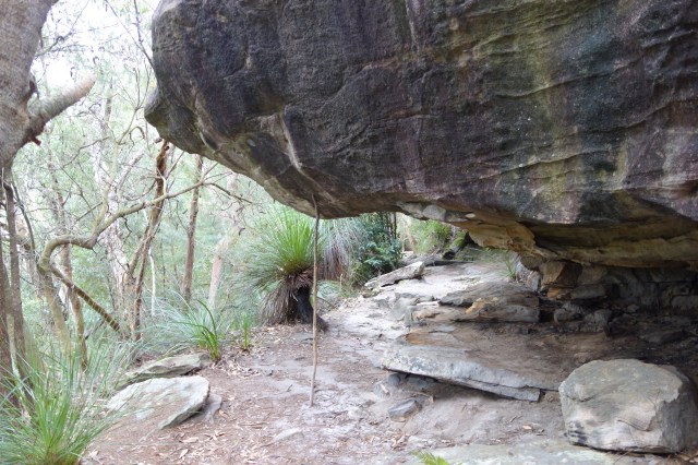
Stick Holding Rock?
I was making good time and realized that I would reach the highway meeting point early and was prepared to wait a bit for Mark. But at about 9:20 I received a text from Mark saying that he would be at the meeting point soon. Looking at the map I figured I had about a 10 minute walk to the highway, so I tapped out a quick, “Me too.” to him. But as I walked the trail it turned out to take longer than I thought it would and I didn’t reach the highway until 9:40. Mark told me later that he made the same error in judging walking time along the highway and got there only minutes before me. So it worked out very well.
At the highway I ran into the problem that the traffic was fairly heavy, and Mark was on the other side of it. Having no way to safely cross, I had to backtrack the trail and take a side trail under a highway bridge. With a quick text to Mark to tell him what my plan was (to avoid trying to yell across the highway to him) I backtracked and met him down by the river on the other side.
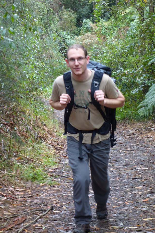
Mark
The last half of the walk continued with good conversations with Mark and occasional stops for photos and a rest break. For most of the walk there was a light mist falling, but with the effort of the walk and occasional climbs, the mist and the cool temperature was just right to keep us comfortable. Although there was about a half hour when the rain picked up enough to make it uncomfortably cool and we ended up putting our jackets on for a short time.
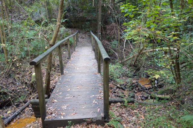
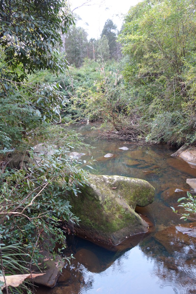
Stream Crossing
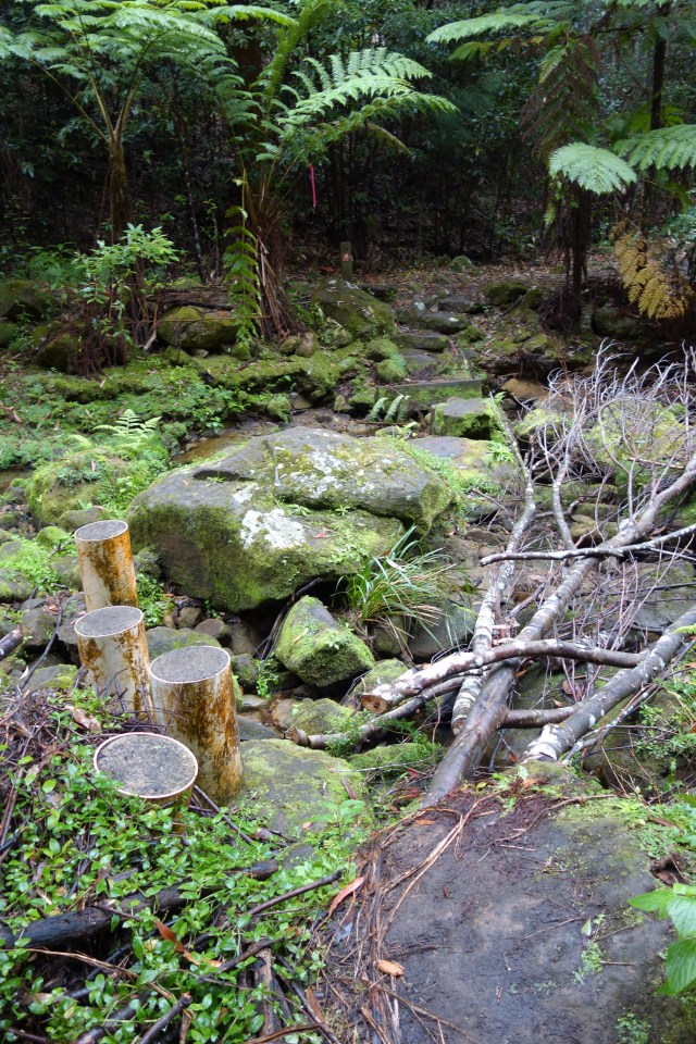
At one point Mark noticed that a creek beside the trail had turned a strange orange color. It was not an easily accessible part of the creek, so from a distance we debated what might have caused it and our best guess was verified later on in the trail where we found a small accessible pool of similar color. It was clearly some type of algae.

Algae Filled Stream
There was a steep 100m climb at the end of the hike to take us into Thornleigh. This was a good final test for my legs at the end of an 18km that are still very out of hiking shape. My legs are still sore today and I expect they will still be sore tomorrow.
Looking Back Down the Climb into Thornleigh

Just Before Arriving at Thornleigh Oval
The track ended at the back end of Thornleigh Oval and with a kilometer walk through the back streets we arrived at the train station. Mark and I were taking trains in opposite directions so we said our goodbyes after an enjoyable day of walking in the woods.

I recognise our BBQ spot. 🙂
The hanging rock seems dangrous. It was quite wet on Saturday morning so I guess it would be slippery in the park. Hope you enjoyed the walk.
Are those photos from Mark or your mobile phone?
LikeLike
The photos were taken using my hiking camera,a Sony RX100.
It’s a small, light camera but takes good quality photos.
I also used this camera on the Parramatta Ferry trip last week.
And its the one I took to NZ with me.
I may add some of Marks photos to this blog post later.
LikeLike